


.jpg?#)


NASA Laser Reflecting Instrument Makes GPS Satellite More Accurate
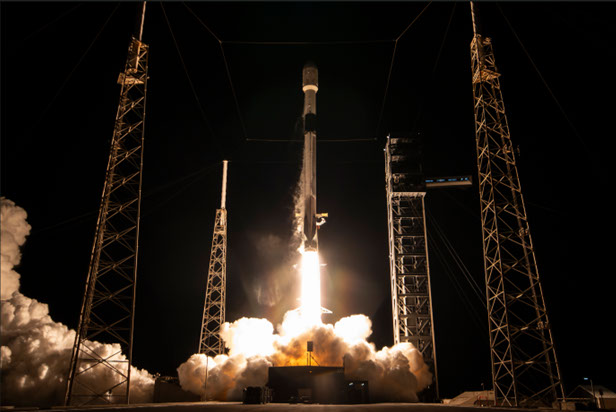
A NASA laser reflecting technology that will aid Global Positioning System (GPS) accuracy is now operational as of March 9. The instrument, known as a laser retroreflector array, or LRA, launched aboard GPS III SV-09, the ninth of U.S. Space Force’s Block III Global Positioning System satellites, on Jan. 27. LRAs are sets of mirrors […]
3 min read
NASA Laser Reflecting Instrument Makes GPS Satellite More Accurate
A NASA laser reflecting technology that will aid Global Positioning System (GPS) accuracy is now operational as of March 9.
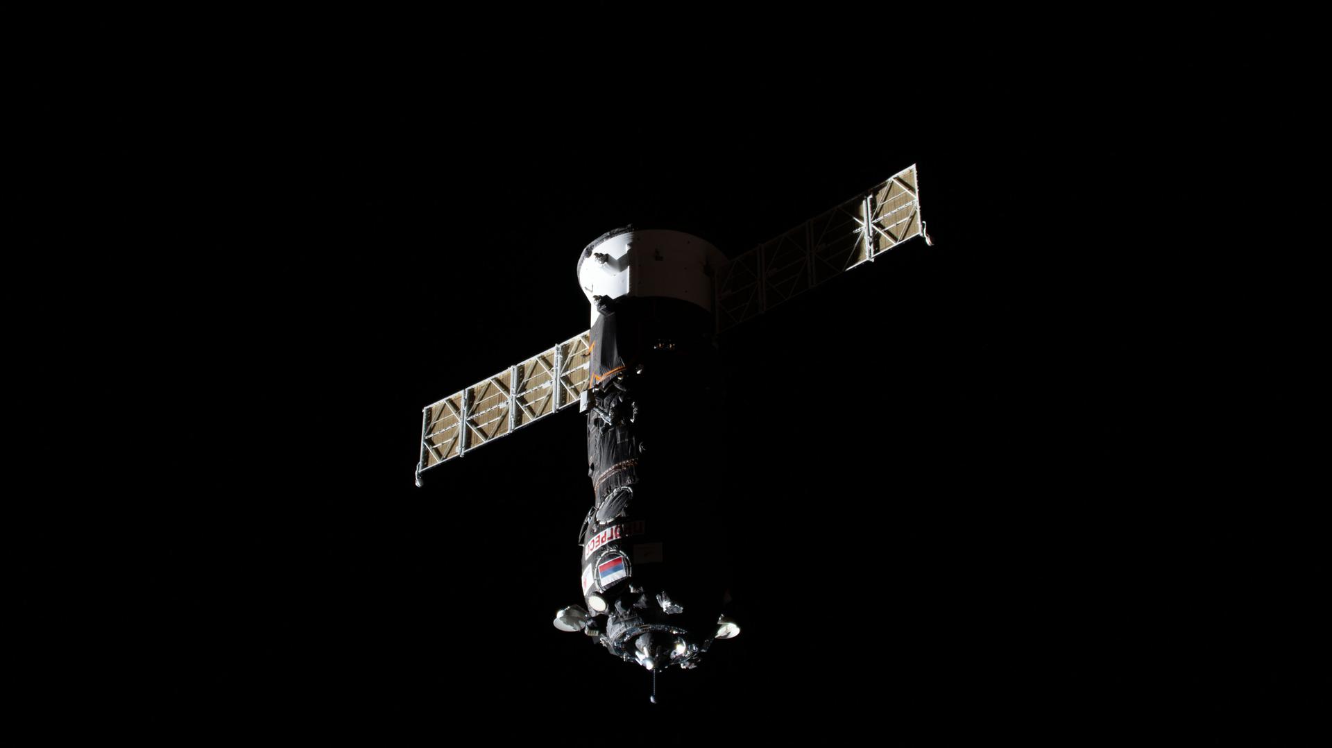
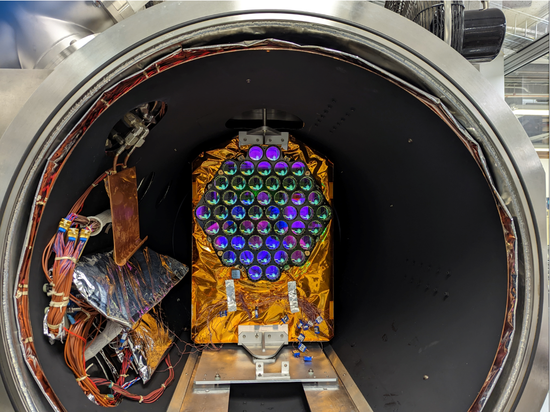
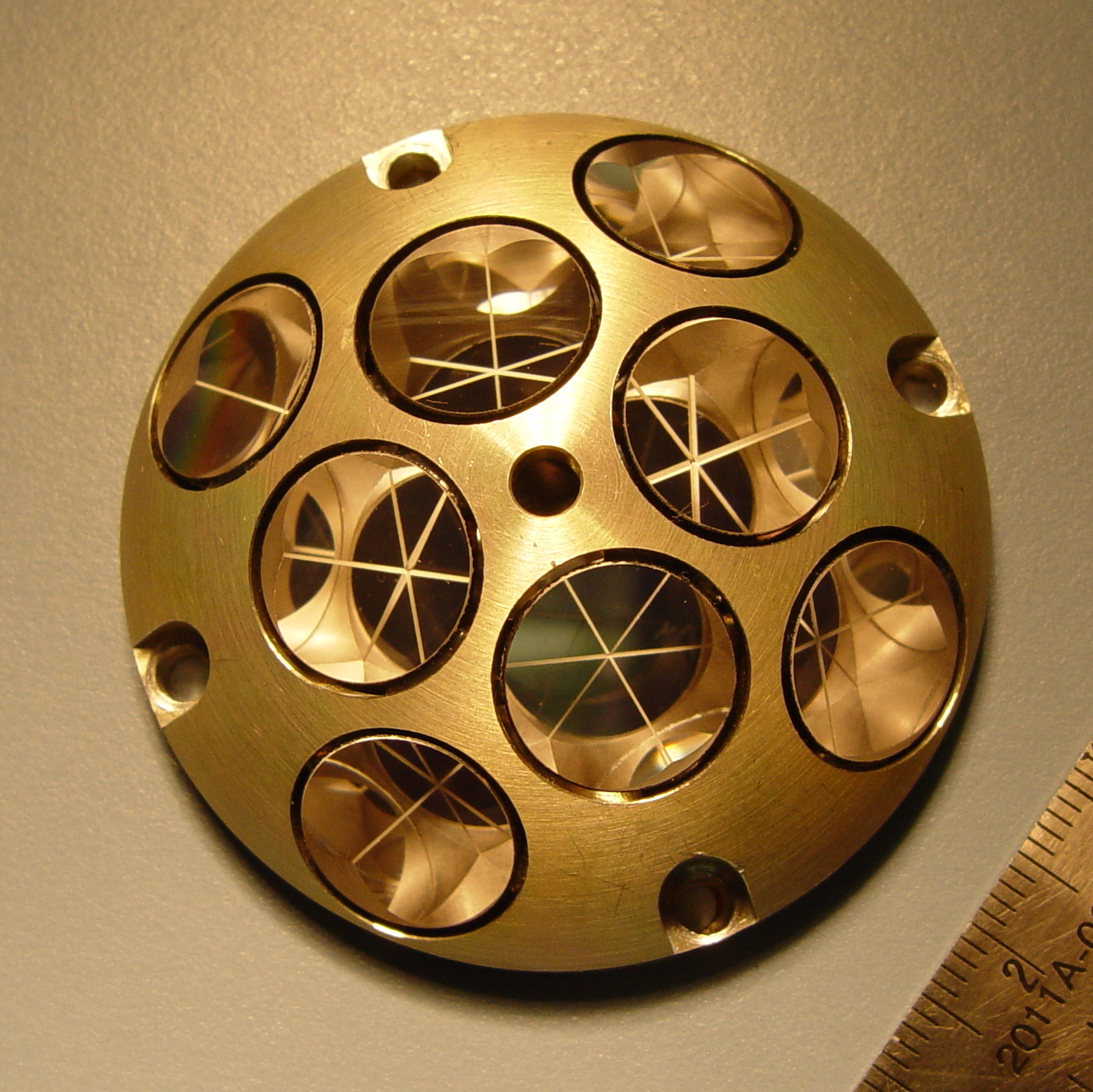
The instrument, known as a laser retroreflector array, or LRA, launched aboard GPS III SV-09, the ninth of U.S. Space Force’s Block III Global Positioning System satellites, on Jan. 27. LRAs are sets of mirrors shaped like the corners of a cube, a configuration that is designed to precisely reflect beams of light back to their source. They are a key component to laser ranging, a technique that enables the measurement of precise distance by observing the time it takes for a pulse of light to travel from a ground station to the mirrors and back.

“LRAs are the most efficient and cost-effective way to improve products that come out of GPS,” said Lucia Tsaoussi, program manager for NASA’s Space Geodesy at NASA Headquarters in Washington.
Whether walking, driving, sailing, or flying, GPS technology helps people know their location and navigate to their destination. With the LRA being put to work, this GPS satellite will have an improved tie to the global coordinate system, resulting in more accurate location and navigation information for users.
“We are the hidden infrastructure,” said Stephen Merkowitz, project manager for the Space Geodesy Project at NASA’s Goddard Space Flight Center in Greenbelt, Maryland. “Most people don’t realize that they’re relying on these kinds of measurements every day throughout their lives.”

Using GPS data also supports other Earth-observing satellites and the data they collect. These satellites help us understand our planet and provide early warnings for natural hazards. Satellites orbiting the planet have GPS receivers to help pinpoint their exact location in space. The more precise the GPS orbit information, the more accurate and reliable the rest of the satellite’s data becomes, Tsaoussi said.
Satellites like ICESat-2 (Ice, Cloud, and land Elevation satellite 2), SWOT (Surface Water and Ocean Topography), and GRACE-FO (Gravity Recovery and Climate Experiment Follow On) also rely on laser-ranging technology to pinpoint their location in orbit.
NASA’s Space Geodesy Project operates a global network of Satellite Laser Ranging stations dedicated to continuous satellite tracking. Local stations are currently monitoring the latest GPS III satellite, with international stations set to follow soon.
These LRAs were developed by the Space Geodesy Project in partnership with the Naval Research Laboratory’s Naval Center for Space Technology in Washington.
NASA’s Goddard Space Flight Center, Greenbelt, Md.
Share
Details
Related Terms
Explore More
What's Your Reaction?