


.jpg?#)


The View from Space Keeps Getting Better
After 50 years of Landsat, discovery of new commercial and scientific uses is only accelerating
2 min read
Preparations for Next Moonwalk Simulations Underway (and Underwater)
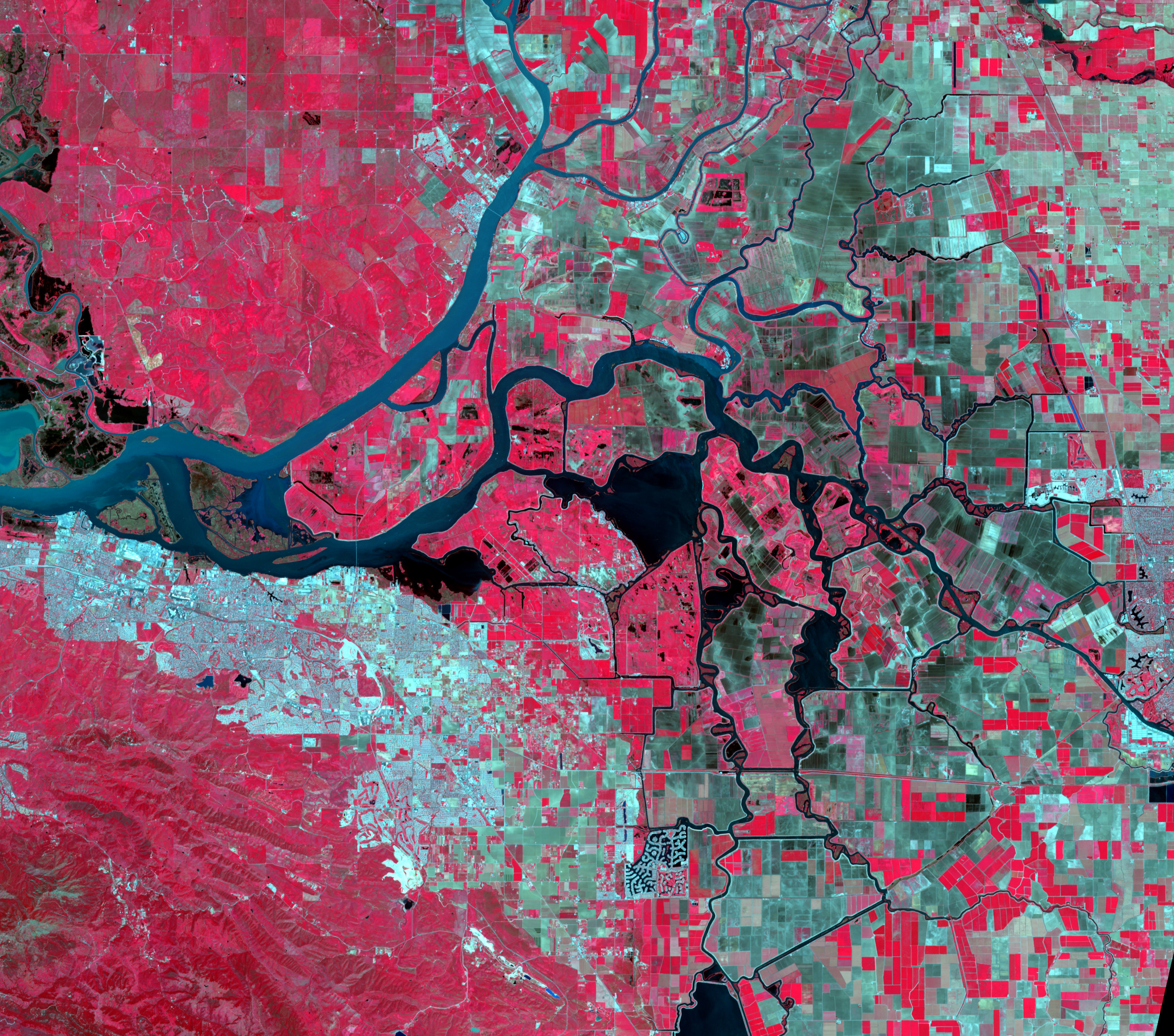
The 30-acre pear orchard in the Sacramento-San Joaquin River Delta has been in Brett Baker’s family since the end of the Gold Rush. After six generations, though, California’s most precious resource is no longer gold – it’s water. And most of the state’s freshwater is in the delta.
Landowners there are required to report their water use, but methods for monitoring were expensive and inaccurate. Recently, however, a platform called OpenET, created by NASA, the U.S. Geological Survey (USGS), and other partners, has introduced the ability to calculate the total amount of water transferred from the surface to the atmosphere through evapotranspiration. This is a key measure of the water that’s actually being removed from a local water system. It’s calculated based on imagery from Landsat and other satellites.
“It’s good public policy to start with a measure everyone can agree upon,” Baker said.
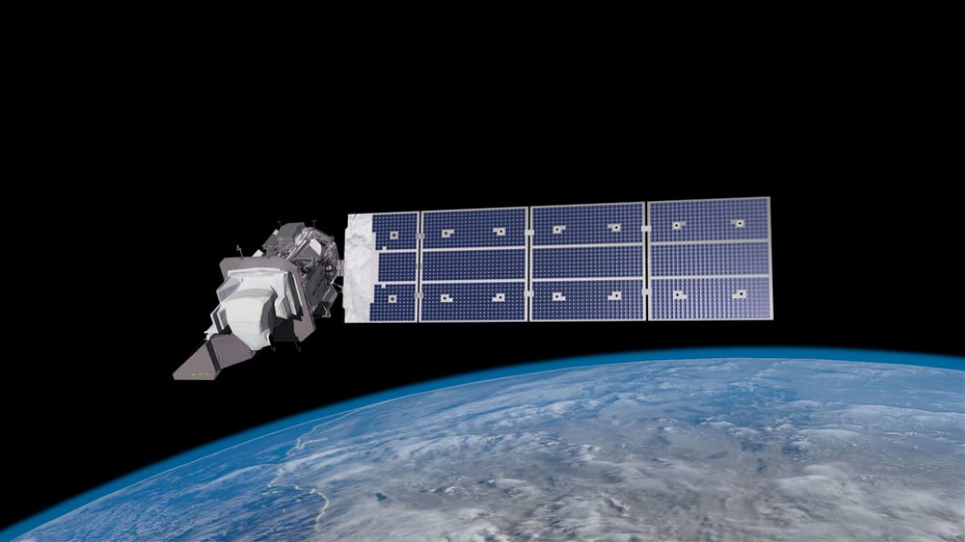
OpenET is only one of the latest uses researchers and businesses continue finding for Landsat over 50 years after the program started collecting continuous imagery of Earth’s surface. NASA has built and launched all nine of the satellites before handing them over to USGS, which manages the program.
Some of the most pressing questions people ask about Earth are about the food it’s producing. Agriculture and adjacent industries are among the heaviest users of Earth-imaging data, which can help assess crop health and predict yields.
Even in this well-established niche, though, new capabilities continue to emerge. One up-and-coming company is using Landsat to validate sustainable farming practices by measuring carbon stored in the ground, which can be detected in the reflectance rate in certain wavelengths. This is how Perennial Inc. is enabling emerging markets for carbon credits, through which farmers get paid for maximizing their land’s storage of carbon.
The company is also discovering interest among food companies that want to reduce their environmental impact by choosing eco-conscious suppliers, as well as companies in the fertilizer, farm equipment, and agricultural lending businesses.
Landsat also enables countless map-based apps, studies of changes in Earth’s surface cover over half a century, and so much more.
Share
Details
Related Terms
Explore More


What's Your Reaction?