NASA Open Science Initiative Expands OpenET Across Amazon Basin
The research teams who help sustain the largest freshwater reserve in the world are developing a new tool to promote more resilient farming systems in Brazil. The goal is to help farmers better handle changes in the water cycle, deal with droughts, and adapt to a changing climate. The Large-Scale Hydrology Research Group hosted at […]
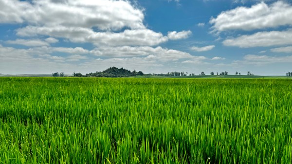
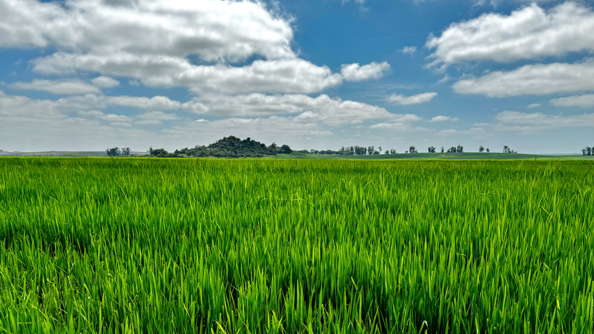
The research teams who help sustain the largest freshwater reserve in the world are developing a new tool to promote more resilient farming systems in Brazil. The goal is to help farmers better handle changes in the water cycle, deal with droughts, and adapt to a changing climate.
The Large-Scale Hydrology Research Group hosted at the Federal University of Rio Grande do Sul in Brazil recently announced they are launching OpenET-Brazil, an online tool to provide data about water consumption and evapotranspiration (the “ET” in OpenET) at the field scale. The tool will use open-source models and Google Earth Engine, as well as publicly available satellite data from NASA and the U.S. Geological Survey (USGS), to provide satellite-based monitoring of evapotranspiration and water use for Brazilian water agencies, farmers associations, and non-governmental organizations.
OpenET-Brazil builds on the same tools and approach as OpenET, which was developed for the western United States through a public-private collaboration led by NASA, USGS, Environmental Defense Fund, Desert Research Institute, Google Earth Engine, HabitatSeven, and several universities, with input from more than 100 stakeholders.
OpenET uses an open science approach to provide satellite-based information on water consumption in areas as small as a quarter of an acre and at daily, monthly, and yearly intervals. Until OpenET, there was no single, low-cost operational system for measuring and distributing evapotranspiration data at the scale of individual fields across the western United States.
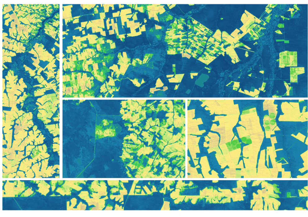
“We’ve seen how OpenET can greatly improve the way farmers, ranchers, and water resource managers work together to steward one of Earth’s most precious resources here in the United States,” said Forrest Melton, the OpenET project scientist at NASA’s Ames Research Center in California’s Silicon Valley. “I’m excited to see how OpenET’s user-driven approach, open-source models, freely available data services, and data vizualiation and retrieval tools can be used by leading scientsts in Brazil to advance water resource management in the Amazon basin and, perhaps one day, globally.”
What's Your Reaction?


.jpg?#)


