


.jpg?#)


Sols 4464-4465: Making Good Progress
Written by Lauren Edgar, Planetary Geologist at USGS Astrogeology Science Center Earth planning date: Monday, Feb. 24, 2025 Over the weekend Curiosity drove about 48 meters (about 157 feet) to the southwest, continuing to march along on our traverse past Texoli butte and Gould Mesa. I was on shift as the LTP today, and it […]
2 min read
Sols 4464-4465: Making Good Progress

Written by Lauren Edgar, Planetary Geologist at USGS Astrogeology Science Center
Earth planning date: Monday, Feb. 24, 2025
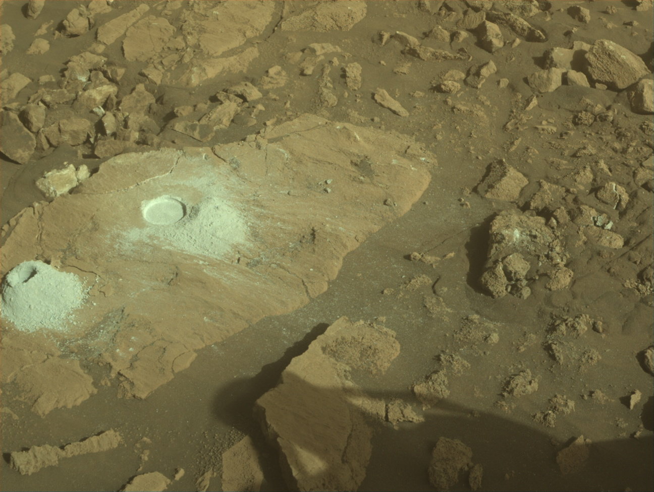
Over the weekend Curiosity drove about 48 meters (about 157 feet) to the southwest, continuing to march along on our traverse past Texoli butte and Gould Mesa. I was on shift as the LTP today, and it was great to see the good drive progress, interesting workspace, and exciting stratigraphy that lies ahead.
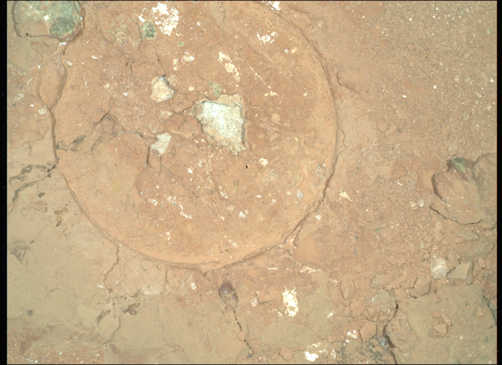
Today’s two-sol plan includes contact science and a drive on the first sol, followed by untargeted remote sensing on the second sol. The Geology theme group got straight to work evaluating contact science targets, and decided on a nodular block named “Matilija Poppy” for APXS and MAHLI observations. Then the team turned their attention to the remote sensing activities. There are a variety of interesting rock textures near the rover, so the team spent some time planning Mastcam imaging and ChemCam LIBS activities to assess the diversity. Some blocks have polygonal fractures with raised ridges, while other blocks are more nodular or well-laminated. In addition to looking at the bedrock, Mastcam will document local troughs in the loose sand between blocks, to understand more recent surface processes. The team planned a ChemCam LIBS observation on one of the polygonal fractures at a target named “East Fork” and two long-distance ChemCam RMI mosaics of Gould Mesa to assess the distant stratigraphy. Then Curiosity will drive about 30 meters (about 98 feet) further to the south, and take post-drive imaging to prepare for Wednesday’s plan.
On the second sol Curiosity will take an autonomously selected ChemCam target, along with multiple environmental monitoring observations to search for dust devils, monitor atmospheric dust, and evaluate clouds. It was a pretty smooth day of planning, and it’s always nice to see how the team works together to accomplish a lot of great science. Looking forward to continuing to make great progress as we start climbing uphill again!
Share
Details
Related Terms
Explore More


What's Your Reaction?