


.jpg?#)


Sols 4450-4451: Making the Most of a Monday
Earth planning date: Monday, Feb. 10, 2025 Last Saturday around 20:00 Pacific Standard Time I saw a 22-degree halo encircling our mostly-full Moon and Mars; an entire planet hanging in the sky between our Moon and the atmospheric phenomenon. As I took in the view I wondered what our rover was doing at that moment… […]
2 min read
Sols 4450-4451: Making the Most of a Monday

Earth planning date: Monday, Feb. 10, 2025
Last Saturday around 20:00 Pacific Standard Time I saw a 22-degree halo encircling our mostly-full Moon and Mars; an entire planet hanging in the sky between our Moon and the atmospheric phenomenon. As I took in the view I wondered what our rover was doing at that moment… turns out the Sun had just risen over Gale crater and Curiosity was still asleep, waiting for her alarm to go off in about 2.5 hours for another full day of science.
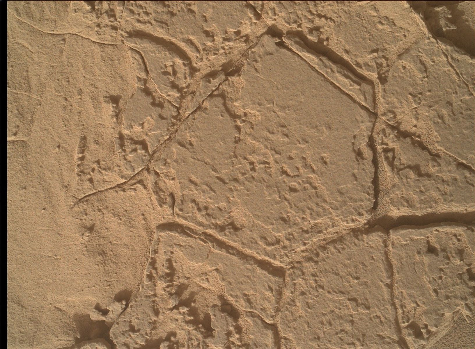
She wouldn’t start the weekend’s drive until Monday morning about 1:30, while I was still asleep waiting for my alarm to sound at 5:15. The drive’s data arrived on Earth about 5:30, and told us we drove until our time-of-day limit for driving — stopping about 36 meters (about 118 feet) away from Friday’s location. Unfortunately, our right-front wheel was shown to be perched on some tall rocks and we couldn’t quantify the drop risk if we unstowed the arm. We decided to play it safe and keep the arm stowed instead.
Today’s two-sol plan would normally be in “nominal” sols — meaning we’d get a full day of science and a drive on the second sol — but due to some DSN downtime on Earth we moved our drive to the first sol, therefore switching to “restricted” sols a bit earlier than usual after our last soliday. Even though we couldn’t plan contact science, we’re making the most of our plan with almost 90 minutes of remote sensing. Mastcam will take an approximately 24-frame stereo mosaic of Wilkerson butte to the north, and ChemCam will shoot their laser at a rock in our workspace named “Carbon Canyon,” as well as three separate RMI mosaics! We’ll then attempt to drive until our time-of-day limit of about 15:00 local Gale time, hopefully getting us to a more stable spot on Wednesday for contact science. The second sol contains our usual dust-devil surveys with Navcam, atmospheric opacity measurements with Mastcam, and a blind LIBS on a piece of bedrock the rover chooses autonomously.
Written by Natalie Moore, Mission Operations Specialist at Malin Space Science Systems
Share
Details
Related Terms
Explore More


What's Your Reaction?