Sols 4393-4395: Weekend Work at the Base of Texoli Butte
Earth planning date: Friday, Dec. 13, 2024 Curiosity continues to make great progress over the Mount Sharp bedrock and will spend the weekend investigating the northern base of the “Texoli” butte. The science team back on Earth enjoyed taking in the beautiful views of nearby “Wilkerson” butte and “Gould Mesa” while digging into the workspace […]

2 min read
Sols 4393-4395: Weekend Work at the Base of Texoli Butte
Earth planning date: Friday, Dec. 13, 2024
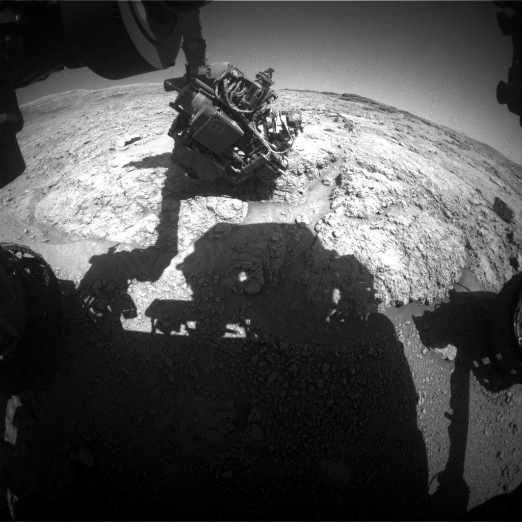
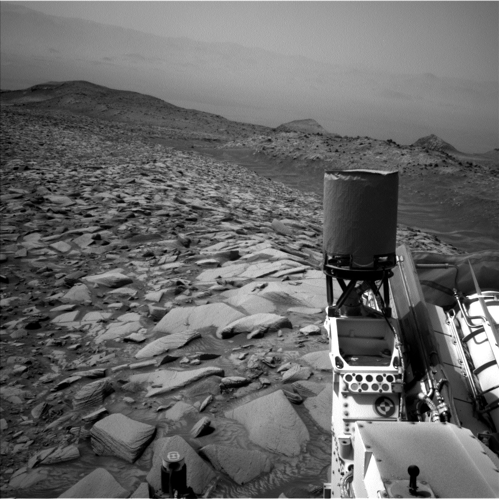
Curiosity continues to make great progress over the Mount Sharp bedrock and will spend the weekend investigating the northern base of the “Texoli” butte. The science team back on Earth enjoyed taking in the beautiful views of nearby “Wilkerson” butte and “Gould Mesa” while digging into the workspace in front of us to create a hefty to-do list for our roving geologist on Mars.
The rocks at the rover’s wheels today consisted of dusty, pale-colored bedrock that had a range of textures. We used the dust removal tool (DRT), MAHLI, and APXS instruments to characterize lighter, smooth bedrock at “Calabasas Peak,” and slightly darker, rougher bedrock at “Triunfo Canyon.” The ChemCam team used the Laser-Induced Breakdown Spectroscopy (LIBS) to analyze the composition of the rougher bedrock at “Chilao” and a vein that cuts through the bedrock at “Ojai,” and Mastcam provided the supporting documentation images of each target.
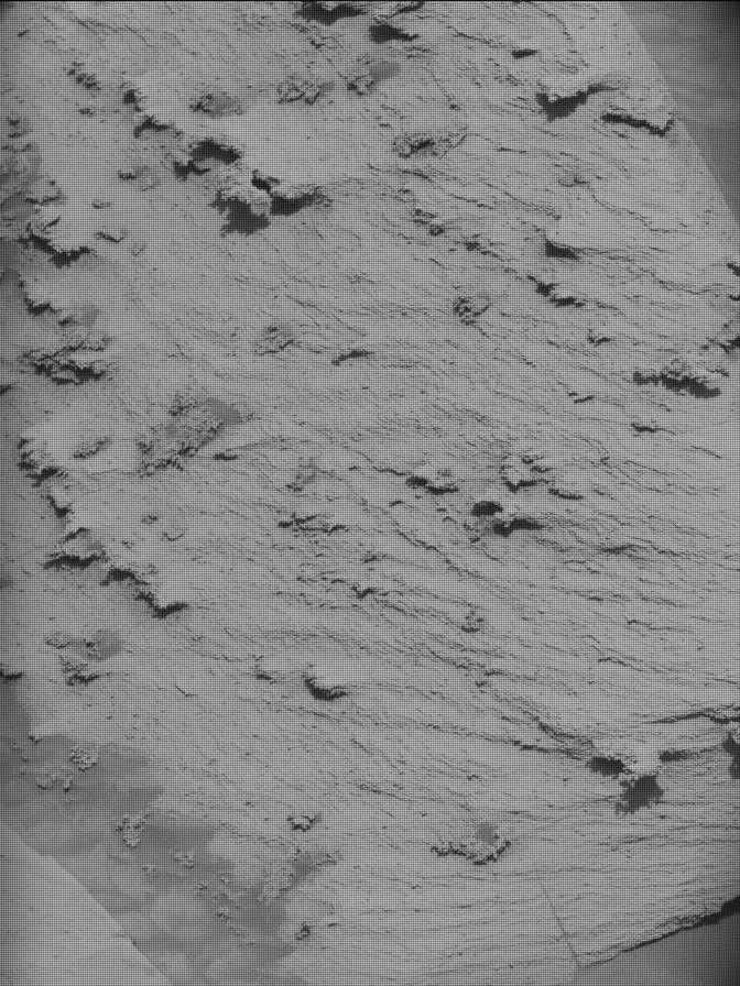
The Mastcam team assembled a variety of images and mosaics in the workspace and beyond. Two stereo mosaics documented the network of fractures in the bedrock at “Fern Dell” while a stereo mosaic of “Amir’s Garden” will be used to observe possible deformation in the rocks. A few single-frame images of troughs in the workspace will be used to investigate active surface processes. Further in the distance, Mastcam created a stereo mosaic of “Jawbone Canyon” to image potential aeolian ripples, and supported a ChemCam long-distance RMI image of a crater in the drive direction called “Grant Lake.” Lastly, ChemCam planned a long-distance RMI image to get a closer look at the structures within Gould Mesa.
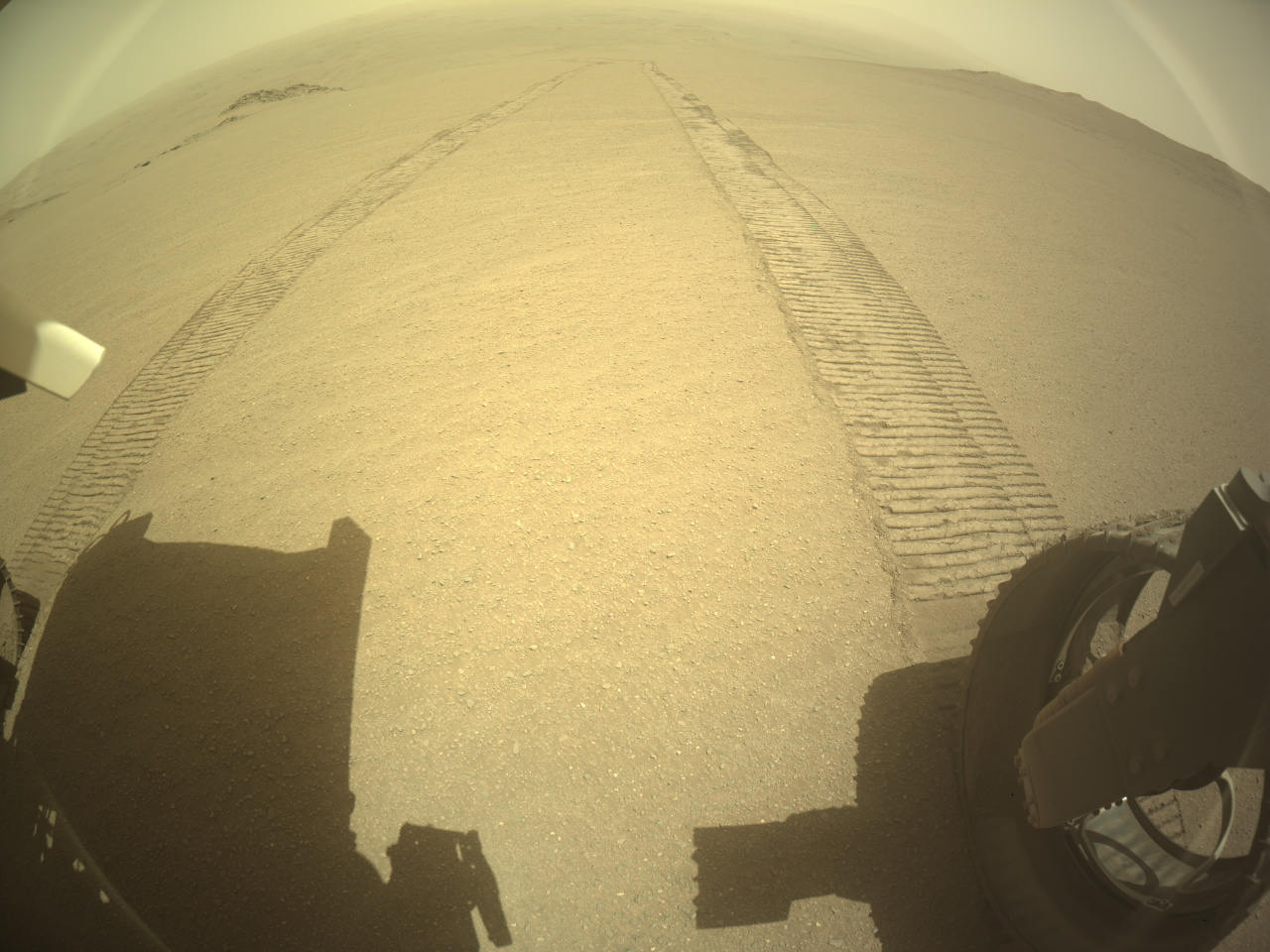
Curiosity will drive 44 meters (about 144 feet) to the west over the weekend as we continue to close in on the intriguing boxwork structures. Lastly, the environmental group rounded out the plan with activities including cloud observations, dust-devil monitoring, and surveys of the amount of dust in the atmosphere.
Written by: Sharon Wilson Purdy, Planetary Geologist at the Smithsonian National Air and Space Museum
Share
Details
Related Terms
What's Your Reaction?








.jpg?#)


