Sols 4382-4383: Team Work, Dream Work
Earth planning date: Monday, Dec. 2, 2024 Today, after a weeklong holiday break, the team was eager to take a look at Curiosity’s new workspace. After driving 51 meters (about 167 feet) alongside Texoli butte (pictured) we had a whole host of new rocks to examine, and it was one of those curiously perfect planning […]
.JPG?w=1024&h=1024&fit=clip&crop=faces%2Cfocalpoint)
3 min read
Sols 4382-4383: Team Work, Dream Work
Earth planning date: Monday, Dec. 2, 2024
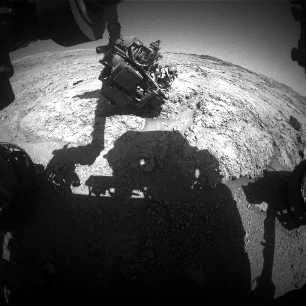
Today, after a weeklong holiday break, the team was eager to take a look at Curiosity’s new workspace. After driving 51 meters (about 167 feet) alongside Texoli butte (pictured) we had a whole host of new rocks to examine, and it was one of those curiously perfect planning days where everything falls into place. Our team of geologists here on Earth was busy studying the images our Martian geologist had downlinked to Earth prior to planning, and we scheduled 1.5 hours of science activities on the first sol of this plan. An interesting and varied workspace today saw lots of instruments working together to study the rocks in-depth — teamwork really does make the dream work.
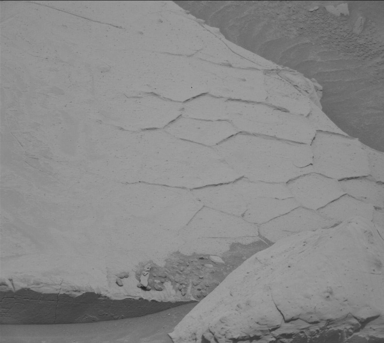
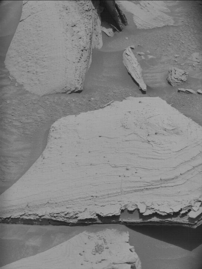
To begin, we are targeting a vertical rock face called “Coronet Lake” near the rover. Coronet Lake has a cluster of nodules on show and we are getting information on the composition of these nodules with APXS and a ChemCam LIBS, as well as a close-up image with our MAHLI instrument. We also have a second MAHLI activity scheduled on a flat rock called “Excelsior Mountain.” Our observant team spotted an interesting-looking rock named “Admiration Point.” This rock may have fallen from the nearby Texoli butte, or could be a meteorite. To test these hypotheses further, we are targeting Admiration Point with a Mastcam mosaic and a ChemCam passive. ChemCam and Mastcam work together again on a target named “Olancha,” an area of rocks that could contain evidence of deformation from when the rocks first formed. Olancha will be targeted with a ChemCam long-distance RMI and a Mastcam mosaic.
Mastcam is finishing off the geological observations here with mosaics of “Angels Camp,” a rock containing veins where water may have once flowed, “Bare Island Lake,” a gray rock containing interesting polygonal ridges, and a trough feature close to Coronet Lake. ChemCam is taking another look back at Gediz Vallis channel to see a transition between light- and dark-toned rocks with a long-distance RMI, and we are rounding off this plan with our standard environmental observations.
As the Geology and Mineralogy theme group Keeper of the Plan for today’s planning, I made sure that this sol was packed full of science activities that the team wanted to schedule. After this busy first sol, Curiosity will be driving about 50 meters (about 164 feet), continuing to make our way out of Gediz Vallis, and we are all very excited to see what the rest of the sulfate-bearing unit has to offer us.
Written by Emma Harris, graduate student at Natural History Museum, London
Share
Details
Related Terms
What's Your Reaction?


.jpg?#)


