Sols 4366–4367: One of Those Days on Mars (Sulfate-Bearing Unit to the West of Upper Gediz Vallis)
Earth planning date: Friday, Nov. 15, 2024 The Monday plan and drive had executed successfully, so the team had high hopes for APXS and MAHLI data on several enticing targets in the rover’s workspace. Alas, it was not to be: The challenging terrain had resulted in an awkwardly perched wheel at the end of the […]

3 min read
Sols 4366–4367: One of Those Days on Mars (Sulfate-Bearing Unit to the West of Upper Gediz Vallis)
Earth planning date: Friday, Nov. 15, 2024
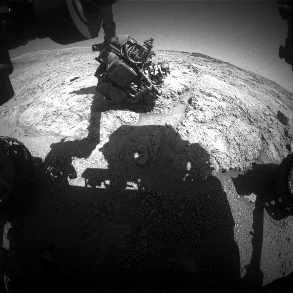
The Monday plan and drive had executed successfully, so the team had high hopes for APXS and MAHLI data on several enticing targets in the rover’s workspace. Alas, it was not to be: The challenging terrain had resulted in an awkwardly perched wheel at the end of the drive, so we couldn’t risk deploying the arm from this position. Maybe next drive!
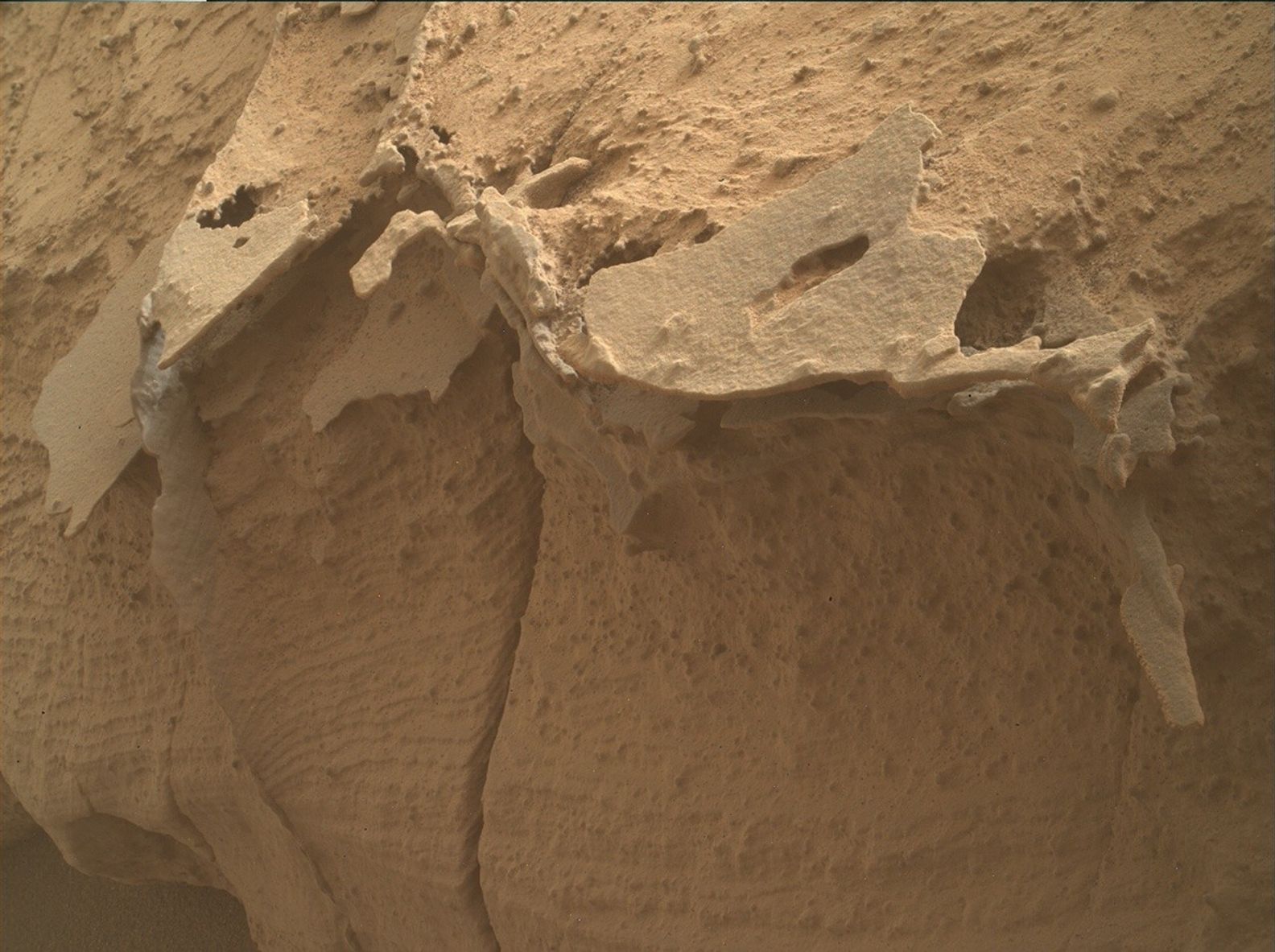
We did plan a busy weekend of non-arm science activities regardless. Due to a “soliday” the weekend has two sols instead of three, but we had enough power available to fit in more than three hours of observations. The two LIBS observations in the plan will measure the composition of the flat, reddish material in the workspace that is fractured in a polygonal pattern (“Bloody Canyon”) and a nearby rock coating in which the composition is suspected to change with depth (“Burnt Camp Creek”). One idea is that the reddish material could be the early stage version of the thicker dark coatings we’ve been seeing.
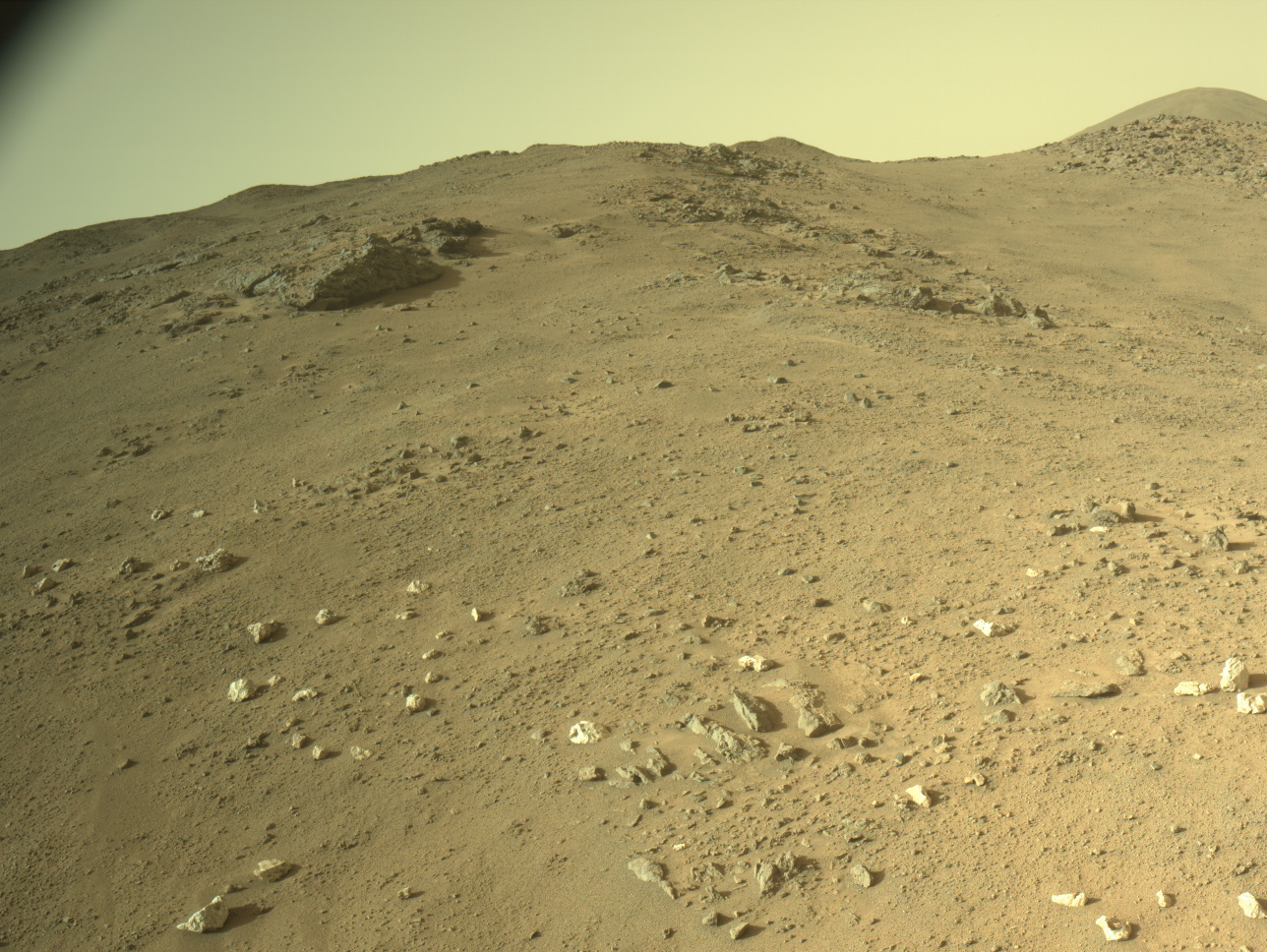
A large Mastcam mosaic (“Yosemite”) was planned to capture the very interesting view to the rover’s north. Nearby and below the rover is the layer of rocks in which the “Mineral King” site was drilled on the opposite side of the channel back in March. This is a stratum of sulfate-bearing rock that appears dark-toned from orbit and we’re interested to know how consistent its features are from one side of the channel to the other. Higher up, the Yosemite mosaic also captures some deformation features that may reveal past water activity, and some terrain associated with the Gediz Vallis ridge. So there’s a lot of science packed into one mosaic!
Two long-distance RMI mosaics were planned; one is to image back into the channel, where there may be evidence of a late-stage debris flow at the base of the ridge. The second looks “forward” from the rover’s perspective instead, into the wind-shaped yardang unit above us that will hopefully be explored close-up in the rover’s future. This yardang mosaic is intended to form one part of a stereo observation.
The modern environment on Mars will also be observed with dust devil surveys on both sols, line-of-sight and tau observations to measure atmospheric opacity (often increased by dust in the atmosphere), and zenith and suprahorizon movies with Navcam to look for clouds. There will also be standard passive observations of the rover’s environment by REMS and DAN.
We’ll continue driving westward and upward, rounding the Texoli butte to keep climbing through the sulfate-bearing unit. It’s not always easy driving but there’s a lot more science to do!
Written by Lucy Lim, Participating Scientist at NASA’s Goddard Space Flight Center
Share
Details
Related Terms
What's Your Reaction?











.jpg?#)


