Sols 4327-4328: On the Road Again
Earth planning date: Monday, Oct. 7, 2024 After successfully completing investigations within Gediz Vallis, Curiosity is back on the road through the Mg-sulfate (magnesium sulfate) bearing unit. The terrain under our wheels is a familiar collection of broken up blocks, and we’re keeping our rover eyes on the more distant stratigraphy and the deposits within […]

3 min read
Sols 4327-4328: On the Road Again
Earth planning date: Monday, Oct. 7, 2024
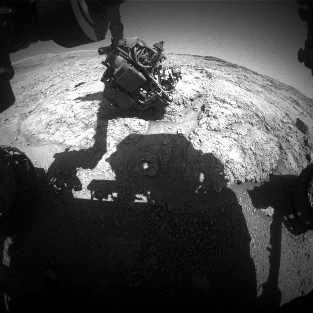
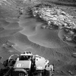
After successfully completing investigations within Gediz Vallis, Curiosity is back on the road through the Mg-sulfate (magnesium sulfate) bearing unit. The terrain under our wheels is a familiar collection of broken up blocks, and we’re keeping our rover eyes on the more distant stratigraphy and the deposits within the Gediz Vallis channel (as seen in the above Navcam image). Our traverse along this side of the channel is a great chance to understand the erosional and depositional history of Gediz Vallis from a different perspective, and to characterize variations in the sulfate unit.
I was on shift as Long-Term Planner today, and it was a pretty straightforward two-sol plan, with contact science on the first sol and driving on the second sol. The team planned a great collection of measurements to characterize the rocks in our workspace and more distant features.
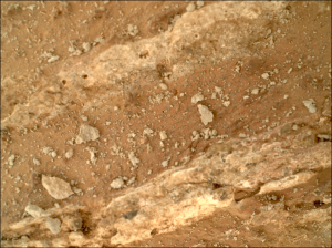
The plan starts with remote sensing, including ChemCam LIBS on a gray, smooth slab at “Paloma Meadows,” followed by two long-distance RMI mosaics to assess the thickness and distribution of white clasts in Gediz Vallis. Then Mastcam will document Paloma Meadows and a distant dark clast at “Sky Parlor Meadow” to understand the variety of rock types and where they might have come from. The remote sensing block also includes a Navcam observation to search for dust devils. Later in the afternoon Mastcam will acquire a mosaic looking back towards “Whitebark Pass” including the white clasts (some of which were previously tied to observations of high sulfur) and the distribution of deposits within “Pinnacle Ridge.” Then Curiosity will use the instruments on the arm to assess one of the blocks in our workspace at “Pincushion Peak.” We’ll use the DRT, MAHLI, and APXS to assess the grain size, textures, and composition of a nodular block of bedrock. On the second sol Curiosity will acquire ChemCam LIBS and Mastcam of Pincushion Peak, which will make for a nice set of coordinated observations. The second sol also includes a long-distance RMI mosaic of an interesting dark block to assess sedimentary structures, and two Navcam observations to characterize atmospheric opacity and the movement of fines on the rover deck. Then Curiosity will continue driving, and take post-drive imaging to prepare for a similar plan on Wednesday. Looking forward to continuing to explore what’s under our wheels and on the horizon!
Written by Lauren Edgar, Planetary Geologist at USGS Astrogeology Science Center
Share
Details
Related Terms
What's Your Reaction?








.jpg?#)


