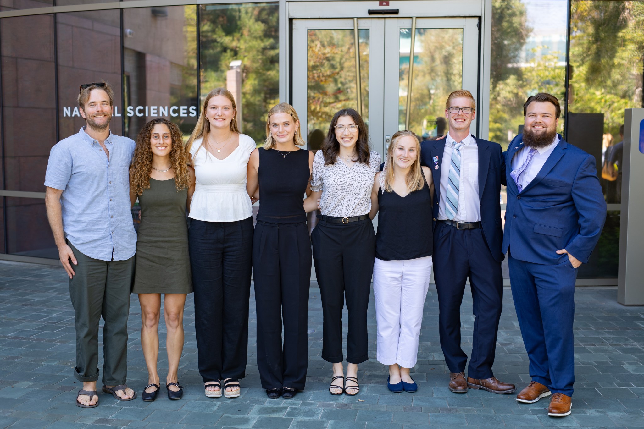
SARP West 2024 Oceans Group
Faculty Advisor: Dr. Henry Houskeeper, Woods Hole Oceanographic Institute Graduate Mentor: Lori Berberian, University of California, Los Angeles Lori Berberian, Graduate Mentor Emory Gaddis Leveraging High Resolution PlanetScope Imagery to Quantify oil slick Spatiotemporal Variability in the Santa Barbara Channel Emory Gaddis, Colgate University Located within the Santa Barbara Channel of California, Coal Oil Point […]
9 min read
Preparations for Next Moonwalk Simulations Underway (and Underwater)
Faculty Advisor: Dr. Henry Houskeeper, Woods Hole Oceanographic Institute
Graduate Mentor: Lori Berberian, University of California, Los Angeles
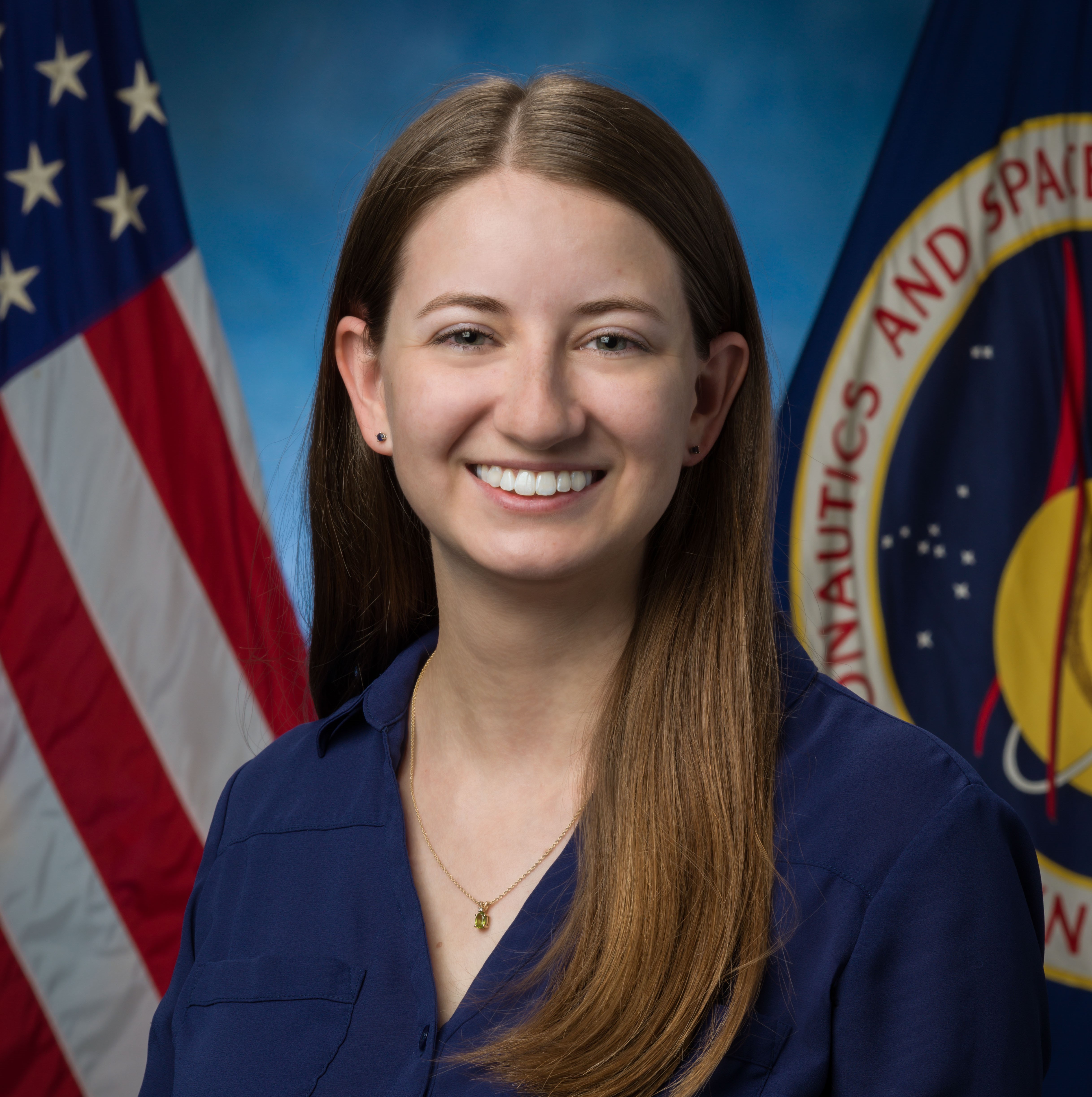
Lori Berberian, Graduate Mentor
Emory Gaddis
Leveraging High Resolution PlanetScope Imagery to Quantify oil slick Spatiotemporal Variability in the Santa Barbara Channel
Emory Gaddis, Colgate University
Located within the Santa Barbara Channel of California, Coal Oil Point is one of the world’s largest hydrocarbon seep fields. The area’s natural hydrocarbon seepage and oil production have sustained both scientific interest and commercial activity for decades. Historically, indigenous peoples in the region utilized the naturally occurring tar for waterproofing baskets, establishing early evidence of the natural presence of hydrocarbons long before modern oil extraction began. Gaseous hydrocarbons are released from the marine floor through the process of seeping, wherein a buildup of reservoir pressure relative to hydrostatic pressure causes bubbles, oily bubbles, and droplets to rise to the surface. This hydrocarbon seepage is a significant source of Methane CH4—a major greenhouse gas––emissions into the atmosphere. Current limitations of optical remote sensing of oil presence and absence in the ocean leverage geometrical as well as biogeochemical factors and include changes in observed sun glint, sea surface damping, and wind roughening due to changes in surface oil concentrations. We leverage high-resolution (3m) surface reflectance observations obtained from PlanetScope to construct a time series of oil slick surface area spanning 2017 to 2023 within the Coal Oil Point seep field. Our initial methods are based on manual annotations performed within ArcGIS-Pro. We assess potential relationships between wind speed and oil slick surface area to support a sensitivity analysis of our time series. Correcting for confounding outside factors (e.g., wind speed) that modify oil slick surface area improves determination of oil slick surface area and helps test for changes in natural seepage rates and whether anthropogenic activities, such as oil drilling, alter natural oil seepage. Future investigations into oil slick chemical properties and assessing how natural seepage impacts marine and atmospheric environments (e.g., surface oil releases methane into the atmosphere) can help to inform the science of optimizing oil extraction locations.
Rachel Emery
Investigating Airborne LiDAR Retrievals of an Emergent South African Macroalgae
Rachel Emery, The University of Oklahoma
Right now, the world is facing an unprecedented biodiversity crisis, with areas of high biodiversity at the greatest risk of species extinction. One of these biodiversity hotspots, the Western Cape Province of South Africa, features one of the world’s largest unique marine ecosystems due to the extensive growth of canopy forming kelps, such as Macrocystis and Ecklonia, which provide three-dimensional structure important for fostering biodiversity and productivity. Canopy-forming kelps face increasing threats by marine heatwaves and pollution related to climate change and local water quality perturbation. Though these ecosystems can be monitored using traditional field surveying methods, remote sensing via airborne and satellite observations support improved spatial coverage and resample rates, plus extensive historical continuity for tracking multidecadal scale changes. Passive remote sensing observations—such as those derived using observations from NASA’s Airborne Visible-Infrared Imaging Spectrometer – Next Generation (AVIRIS-NG) —provide high resolution, hyperspectral imagery of oceanic environments anticipated to help characterize community dynamics and quantify macroalga physiological change. Active remote sensing observations, e.g., Light Detection and Ranging (LiDAR), are less understood in terms of applications to marine ecosystems, but are anticipated to support novel observations of vertical structure not supported using passive aquatic remote sensing. Here we investigate the potential to observe an emergent canopy-forming macroalgae (i.e., Ecklonia, which can extend more than a decimeter above the ocean’s surface) using NASA’s Land, Vegetation, and Ice sensor (LVIS), which confers decimeter-scale vertical resolution. We validate LVIS observations using matchup observations from AVIRIS-NG imagery to test whether LiDAR remote sensing can improve monitoring of emergent kelps in key biodiversity regions such as the Western Cape.
Brayden Lipscomb
Vertical structure of the aquatic light field based on half a century of oceanographic records from the southern California Current
Brayden Lipscomb, West Virginia University
Understanding the optical properties of marine ecosystems is crucial for improving models related to oceanic productivity. Models relating satellite observations to oceanic productivity or subsurface (e.g., benthic) light availability often suffer from uncertainties in parameterizing vertical structure and deriving columnar parameters from surface observations. The most accurate models use in situ station data, minimizing assumptions such as atmospheric optical thickness or water column structure. For example, improved accuracy of satellite primary productivity models has previously been demonstrated by incorporating information on vertical structure obtained from gliders and floats. We analyze vertical profiles in photosynthetically available radiation (PAR) obtained during routine surveys of the southern California Current system by the California Cooperative Oceanic Fisheries Investigation (CalCOFI). We find that depths of 1% and 10% light availability show coherent log-linear relationships with attenuation measured near surface (i.e., within the first 10 m), despite vertical variability in water column constituent concentrations and instrumentation challenges related to sensitivity, self-shading, and ship adjacency. Our results suggest that subsurface optical properties can be more reliably parameterized from near-surface measurements than previously understood.
Dominic Bentley
Comparing SWOT and PACE Satellite Observations to Assess Modification of Phytoplankton Biomass and Assemblage by North Atlantic Ocean Eddies
Dominic Bentley, Pennsylvania State University
Upwelling is the shoaling of the nutricline, thermocline, and isopycnals due to advection by eddies of the surface ocean layer. This shoaling effect leads to an increase in the productivity of algal blooms in a given body of water. Mesoscale to deformation scale eddy circulation modulates productivity based on latitude, season, direction, and other physical factors. However, many processes governing the effects of eddies on the ocean microbial environment remain unknown due to limitations in observations linking eddy strength and direction with productivity and ocean biogeochemistry. Currently, satellites are the only ocean observing system that allows for broad spatial coverage with high resample rates, albeit with limitations due to cloud obstructions (including storms that may stimulate productivity) and to observations being limited to the near-surface. A persisting knowledge gap in oceanography stems from limitations in the spatial resolution of observations resolving submesoscale dynamics. The recent launch of the Surface Water and Ocean Topography (SWOT) mission in December of 2022 supports observations of upper-ocean circulation with increased resolution relative to legacy missions (e.g. TOPEX/Poseidon, Jason-1, OSTM/Jason-2). Meanwhile, the launch of the Plankton, Aerosol, Cloud, ocean Ecosystem (PACE) satellite in February of 2024 is anticipated to improve knowledge of ocean microbial ecosystem dynamics. We match up SWOT observations of sea surface height (SSH) anomalies—informative parameters of eddy vorticity—with PACE observations of surface phytoplankton biomass and community composition to relate the distribution of phytoplankton biomass and assemblage structure to oceanic eddies in the North Atlantic. We observe higher concentrations of Chlorophyll a (Chla) within SSH minima indicating the stimulation of phytoplankton productivity by cyclonic features associated with upwelling-driven nutrient inputs.
Abigail Heiser
Assessing EMIT observations of harmful algae in the Salton Sea
Abigail Heiser, University of Wisconsin- Madison
In 1905, flooding from the Colorado River gave rise to what would become California’s largest lake, the Salton Sea. Today, the majority of its inflow is sourced from agricultural runoff, which is rich in fertilizers and pollutants, leading to elevated lake nutrient levels that fuel harmful algal blooms (HAB) events. Increasingly frequent HAB events pose ecological, environmental, economic, and health risks to the region by degrading water quality and introducing environmental toxins. Using NASA’s Earth Surface Mineral Dust Source Investigation (EMIT) imaging spectrometer we apply two hyperspectral aquatic remote sensing algorithms; cyanobacteria index (CI) and scattering line height (SLH). These algorithms detect and characterize spatiotemporal variability of cyanobacteria, a key HAB taxa. Originally designed to study atmospheric mineral dust, EMIT’s data products provide novel opportunities for detailed aquatic characterizations with both high spatial and high spectral resolution. Adding aquatic capabilities for EMIT would introduce a novel and cost-effective tool for monitoring and studying the drivers and timing of HAB onset, to improve our understanding of environmental dynamics.
Emma Iacono
Reassessing multidecadal trends in Water Clarity for the central and southern California Current System
Emma Iacono, North Carolina State University
Over the past several decades, the world has witnessed a steady rise in average global temperatures, a clear indication of the escalating effects of climate change. In 1990, Andrew Bakun hypothesized that unequal warming of sea and land surface temperatures would increase pressure gradients and lead to rising rates of alongshore upwelling within Eastern Boundary Currents, including the California Current System (CCS). An anticipated increase in upwelling-favorable winds would have profound implications for the productivity of the CCS, wherein upwelled waters supply nutrient injections that sustain and fuel coastal ocean phytoplankton stocks. Increasing upwelling, therefore, is anticipated to increase the turbidity of the upper ocean, corresponding with greater phytoplankton concentrations. Historical observations of turbidity are supported by observations obtained using a Secchi Disk, i.e., an opaque white instrument lowered into the water column. Observations of Secchi depth—or the depth at which light reflected from the Secchi Disk is no longer visible from the surface—provide a quantification of light penetration into the euphotic zone. The shoaling, or shallowing, of Secchi disk depths was previously reported for inshore, transition, and offshore waters of the central and southern CCS for historical observations spanning 1969 – 2007. Here, we reassess Secchi disk depths during the subsequent period spanning 2007 to 2021 and test for more recent changes in water clarity. Additionally, we evaluate the seasonality and spatial patterns of Secchi disk trends to test for potential changes to oceanic microbial ecology. Indications of long-term trends in some of the coastal domains assessed were found. Generally, our findings suggest a reversal of the trends previously reported. In particular, increases in water clarity likely associated with a recent marine heatwave (MHW) may be responsible for recent changes in Secchi disk depth observations, illustrating the importance of MHW events for modifying the CCS microbial ecosystem.
Click here watch the Atmospheric Aerosols Group presentations.
Click here watch the Terrestrial Ecology Group presentations.
Click here watch the Whole Air Sampling (WAS) Group presentations.
Share
Details
Related Terms
What's Your Reaction?


.jpg?#)


