NASA Aircraft Gathers 150 Hours of Data to Better Understand Earth
Operating internationally over several countries this summer, NASA’S C-20A aircraft completed more than 150 hours of science flights across two months in support of Earth science research and overcame several challenges throughout its missions. Based at NASA’s Armstrong Flight Research in Edwards, California, the C-20A research aircraft has been modified to support the Uninhabited Aerial […]

3 min read
Preparations for Next Moonwalk Simulations Underway (and Underwater)
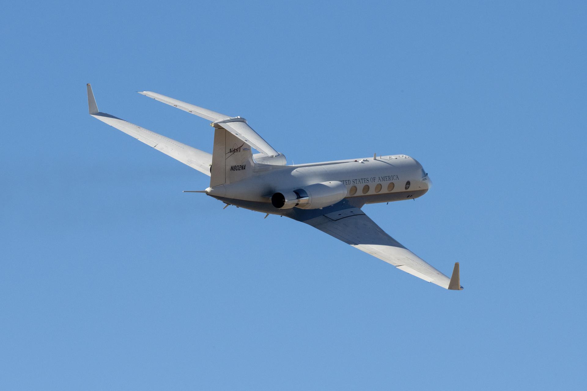
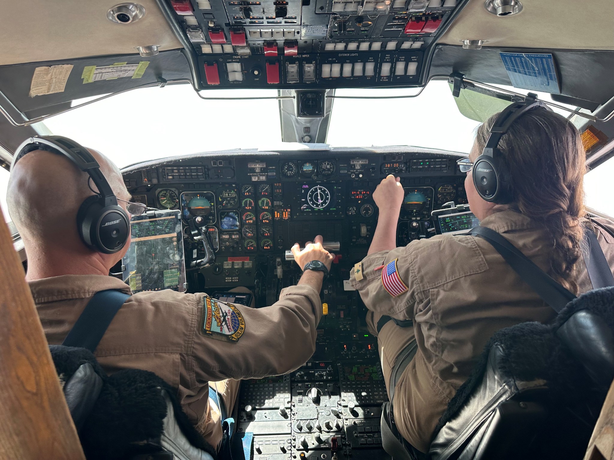
Operating internationally over several countries this summer, NASA’S C-20A aircraft completed more than 150 hours of science flights across two months in support of Earth science research and overcame several challenges throughout its missions.
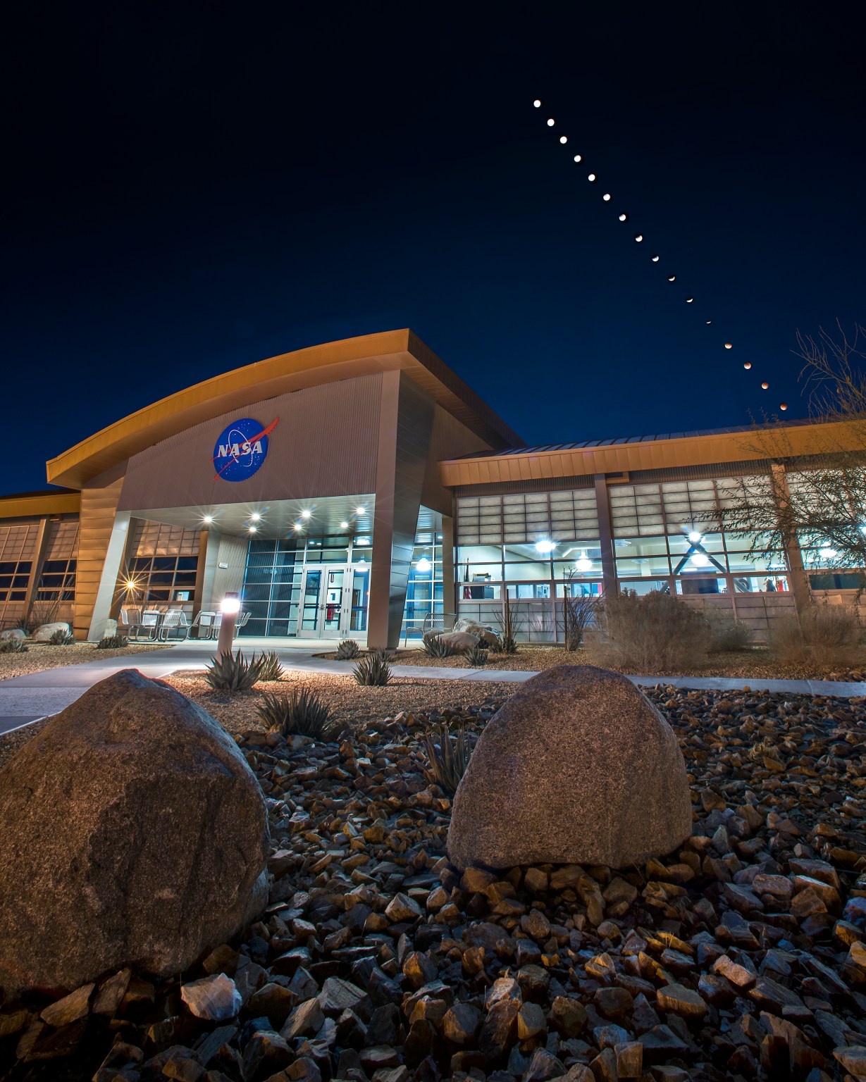
Based at NASA’s Armstrong Flight Research in Edwards, California, the C-20A research aircraft has been modified to support the Uninhabited Aerial Vehicle Synthetic Aperture Radar and SAR-fusion camera. The instruments, built and operated by NASA’s Jet Propulsion Laboratory in Southern California, collect data and images of Earth’s surface for use in understanding global ecosystems, natural hazards, and land surface changes.
From May 20 to July 24, the team crossed the Atlantic and deployed to several locations in Africa, as well as Germany, for two campaigns. They included the Africa Synthetic Aperture Radar (AfriSAR) mission, in collaboration with the European Space Agency, and the Germany Bistatic Experiment, in collaboration with the German Aerospace Center.
For the AfriSAR mission, researchers collected airborne data over African forests, savannas, and wetlands for use in studies of Earth’s ecosystems. Datasets collected over Germany will be used to develop land surface height maps.
The flight team successfully achieved its missions despite several challenges, including mechanical and technical issues with the aircraft. Despite the challenges, the team resolved issues quickly and worked to minimize impacts to the science schedule and objectives.
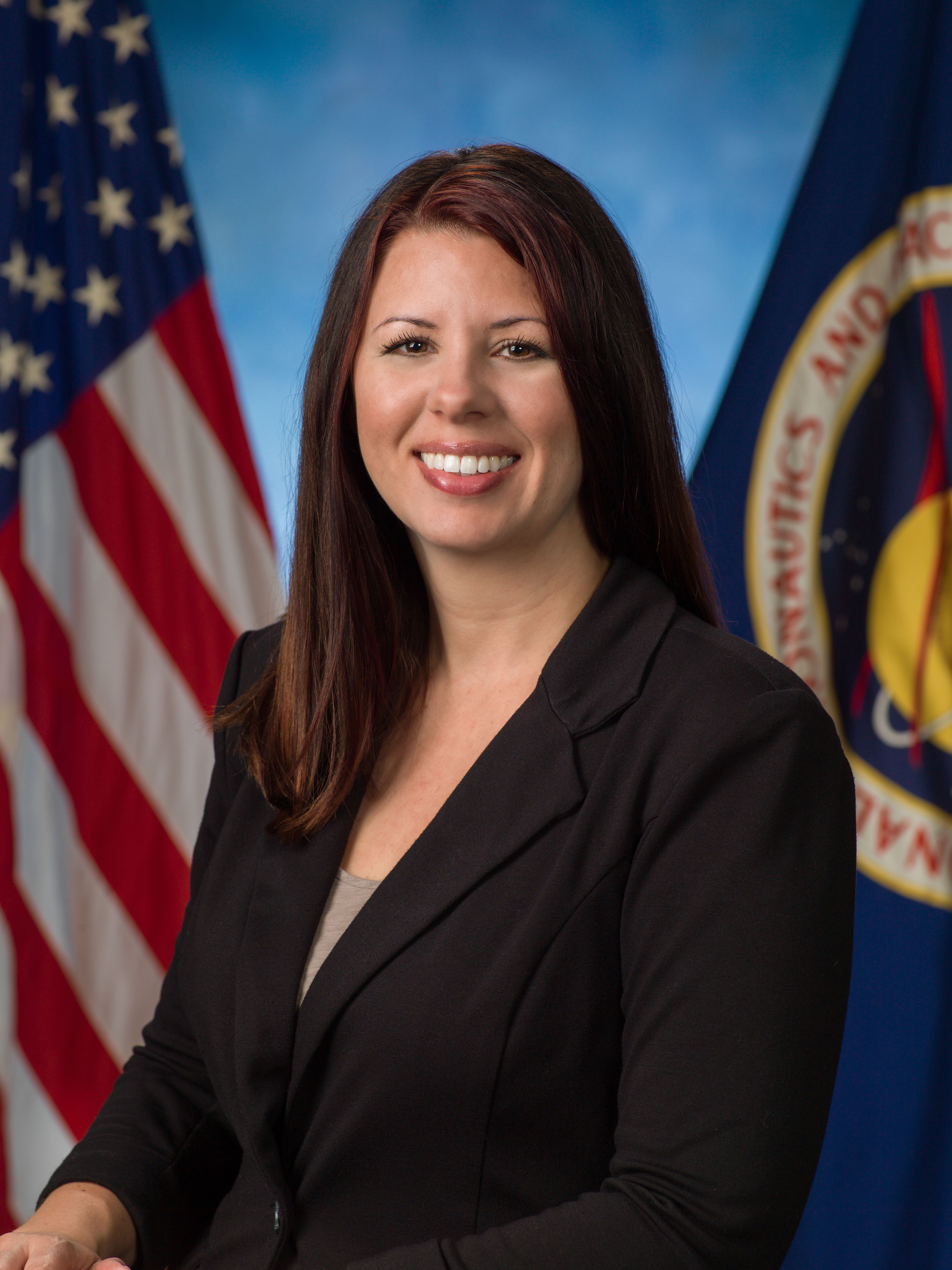
“We prepared for the unexpected and we expected to be unprepared,” said Shawn Kern, NASA Armstrong’s director of safety and mission assurance and a C-20A pilot. “With that mindset, we were ready to adapt and change the plans as needed, and met challenges with a lot of resilience, a lot of innovation, and a lot of improvised solutions to get things done despite some significant roadblocks.”
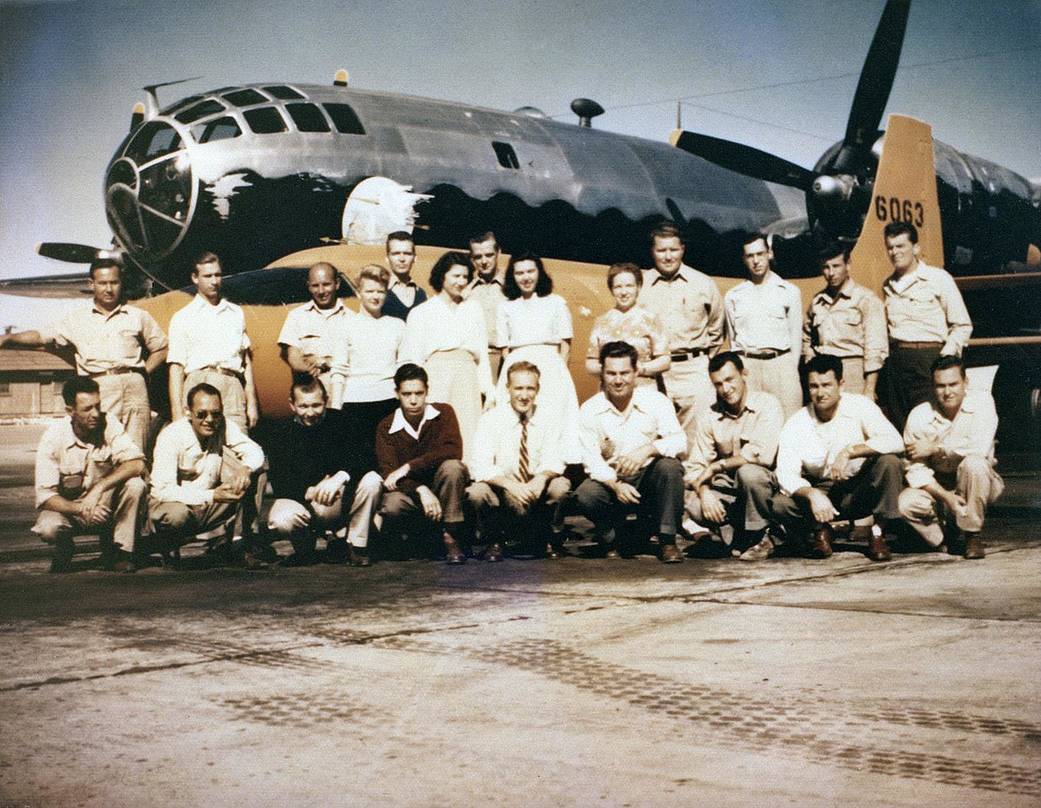
The team included aircraft mechanics, avionics technicians, quality assurance representatives, science leads and instrument operators, operation engineers, mission managers, and pilots. They were also supported by project management, safety, logistics, weather, and maintenance personnel at NASA Armstrong.
“It was really the teamwork, improvisation, and creativity that resolved these unexpected challenges that made the mission a success.” Kern added.
Gathering scientific data in unique regions and conditions is necessary to understanding climate on the global scale. Data generated from these two airborne campaigns can be used to support the calibration and validation of data from future satellite-based missions like NISAR (NASA ISRO Synthetic Aperture Radar).
“Airborne campaigns like these are essential for enabling space-based technology. There are often measurements and science that simply cannot be achieved from satellites alone, and so they require airborne data collection.” said Gerald Bawden, program scientist for studies of Earth’s surface and interior at NASA Headquarters in Washington. “This deployment advanced both of these areas and was enabled by this team.”
Share
Details
Related Terms
What's Your Reaction?







.jpg?#)


