Behind the Scenes of a NASA ‘Moonwalk’ in the Arizona Desert
NASA astronauts Kate Rubins and Andre Douglas recently performed four moonwalk simulations to help NASA prepare for its Artemis III mission. Due to launch in September 2026, Artemis III will land two, yet-to-be-selected, astronauts at the Moon’s South Pole for the first time. Traveling to space requires immense preparation, not just for the astronauts, but […]
Behind the Scenes of a NASA ‘Moonwalk’ in the Arizona Desert
NASA/Josh Valcarcel
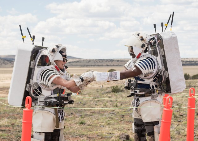
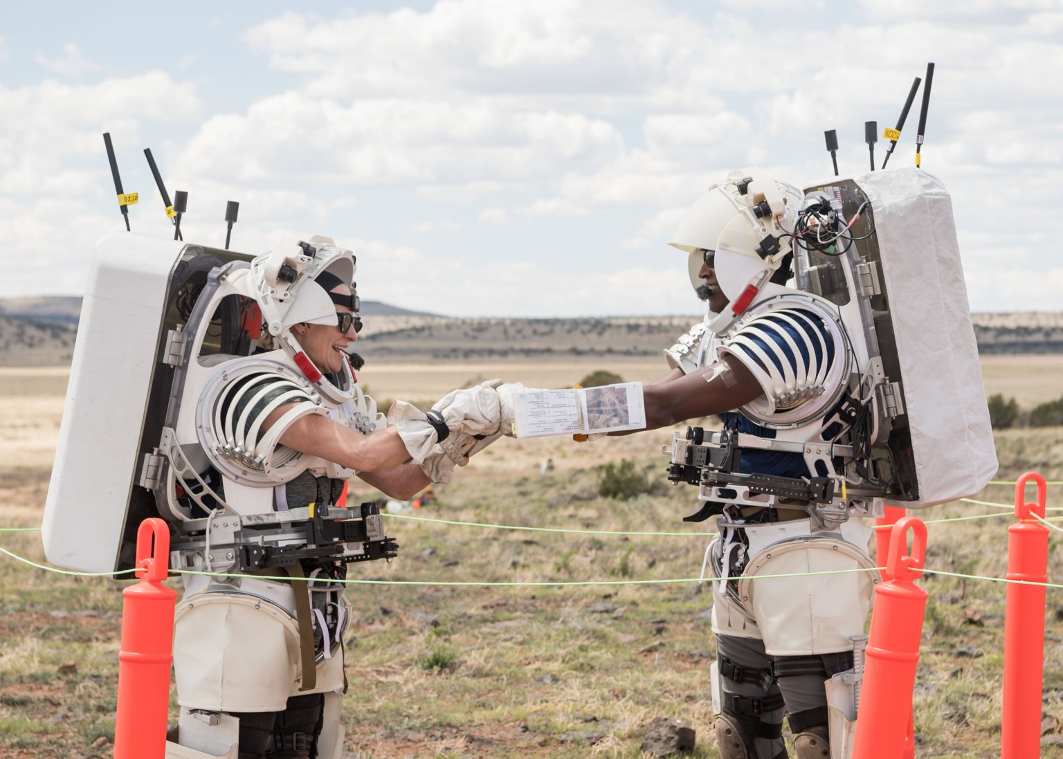
NASA astronauts Kate Rubins and Andre Douglas recently performed four moonwalk simulations to help NASA prepare for its Artemis III mission. Due to launch in September 2026, Artemis III will land two, yet-to-be-selected, astronauts at the Moon’s South Pole for the first time.
Traveling to space requires immense preparation, not just for the astronauts, but for the hundreds of people who work in the background. That’s why Earth-based simulations are key. They allow spacesuit and tool designers to see their designs in action. Flight controllers who monitor spacecraft systems and the crew’s activities get to practice catching early signs of technical issues or threats to astronaut safety. And scientists use simulations to practice making geologic observations from afar through descriptions from astronauts.
Between May 13 and May 22, 2024, Rubins and Douglas trudged through northern Arizona’s San Francisco Volcanic Field, a geologically Moon-like destination shaped by millions of years of volcanic eruptions. There, they made observations of the soil and rocks around them and collected samples. After the moonwalks, the astronauts tested technology that could be used on Artemis missions, including a heads-up display that uses augmented reality to help with navigation, and lighting beacons that could help guide a crew back to a lunar lander.
Dozens of engineers and scientists came along with Rubins and Douglas. Some were in the field alongside the crew. Others joined remotely from a mock mission control center at NASA’s Johnson Space Center in Houston in a more realistic imitation of what it’ll take to work with a crew that’s some 240,000 miles away on the lunar surface.
Here’s a look behind the scenes of a “moonwalk.”
My experience in Arizona was incredible! I worked with several teams, explored an exotic landscape, and got a taste of what it’s like to be on a mission with a crew.

Andre Douglas
NASA Astronaut
Practice to Prepare
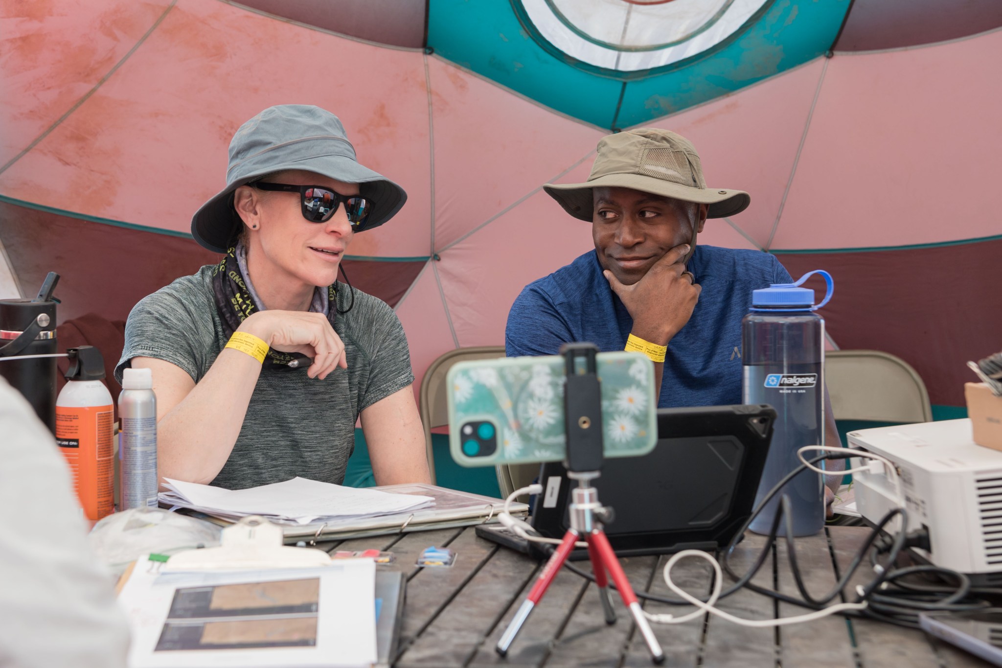
In this May 13, 2024, photo, Rubins (left), a molecular biologist who has done several expeditions to the space station, and Douglas, an engineer and member of the 2021 astronaut class, prepared for moonwalk rehearsals.
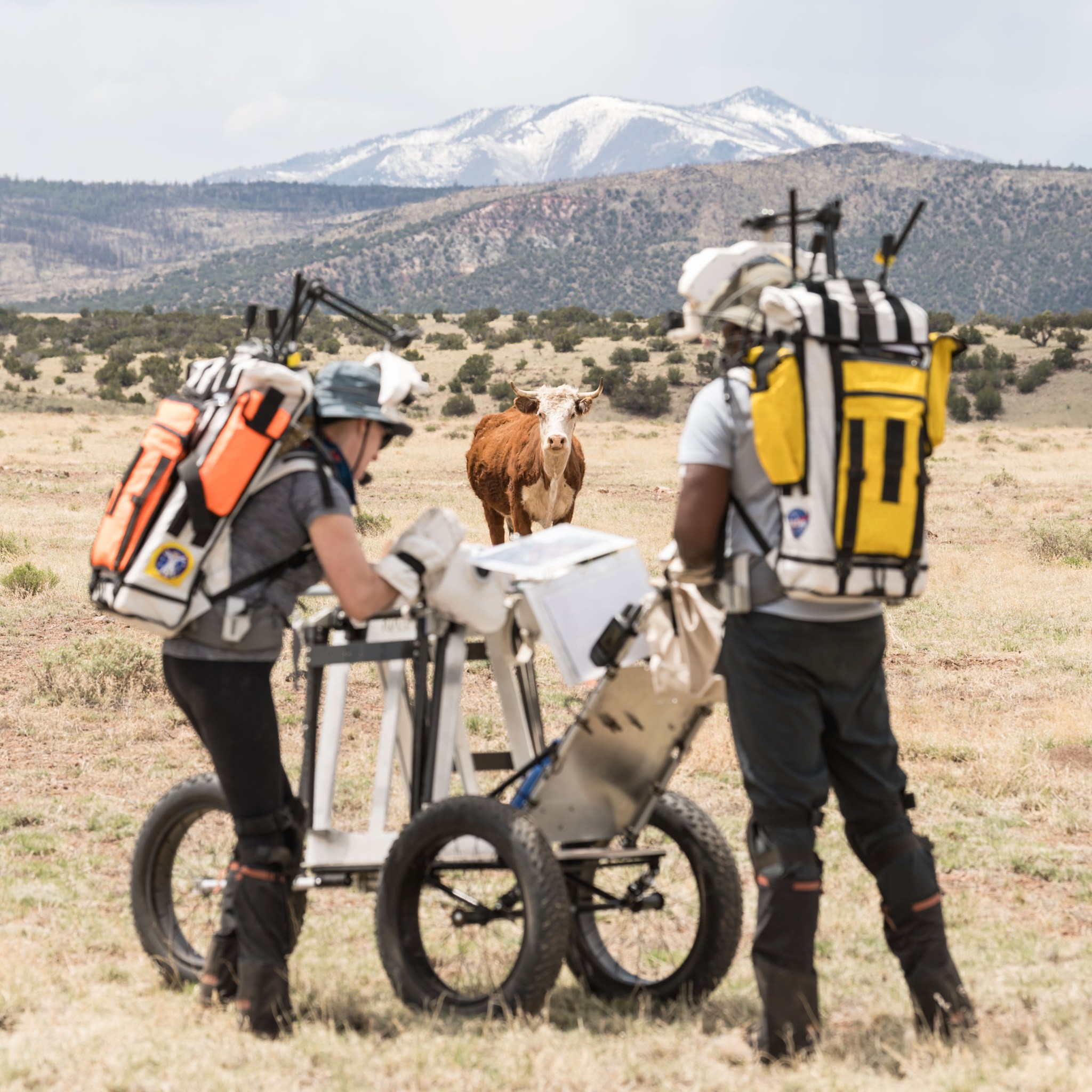
During the May 14 moonwalk, above, Rubins and Douglas worked to stay in the simulation mindset while a cow looked on. They wore backpacks loaded with equipment for lighting, communication, cameras, and power for those devices.
There are, of course, no cows on the Moon. But there is a region, called Marius Hills, that geologically resembles this Arizona volcanic field. Like the Arizona site, Marius Hills was shaped by ancient volcanic eruptions, so the composition of rocks at the two locations is similar.
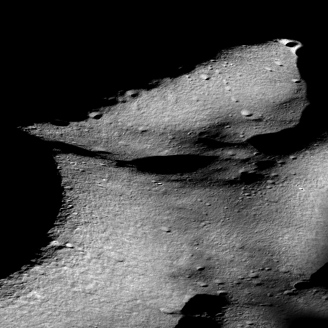
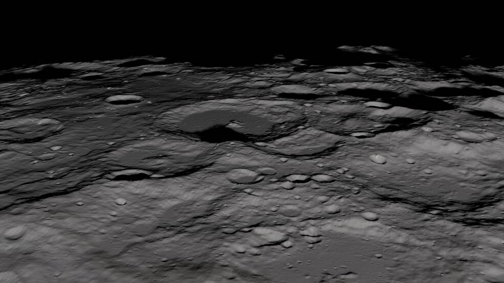
The Arizona simulation site also resembles the Moon’s south polar region in the subtle changes in the size, abundance, and groupings of rocks that can be found there. Noting such faint differences in rocks on the Moon will help reveal the history of asteroid collisions, volcanic activity, and other events that shaped not only the Moon, but also Earth and the rest of our solar system.
“So this ‘landing site’ was a good analog for the types of small changes in regolith astronauts will look for at the lunar South Pole,” said Lauren Edgar, a geologist at the U.S. Geological Survey in Flagstaff, Ariz., who co-led the science team for the simulation.
To the delight of Edgar and her colleagues, Rubins and Douglas correctly identified faint differences in the Arizona rocks. But, despite their accomplishment, the day’s moonwalk had to be cut short due to strong winds. As with cows, there’s no wind on the mostly airless Moon.
Science at the Table
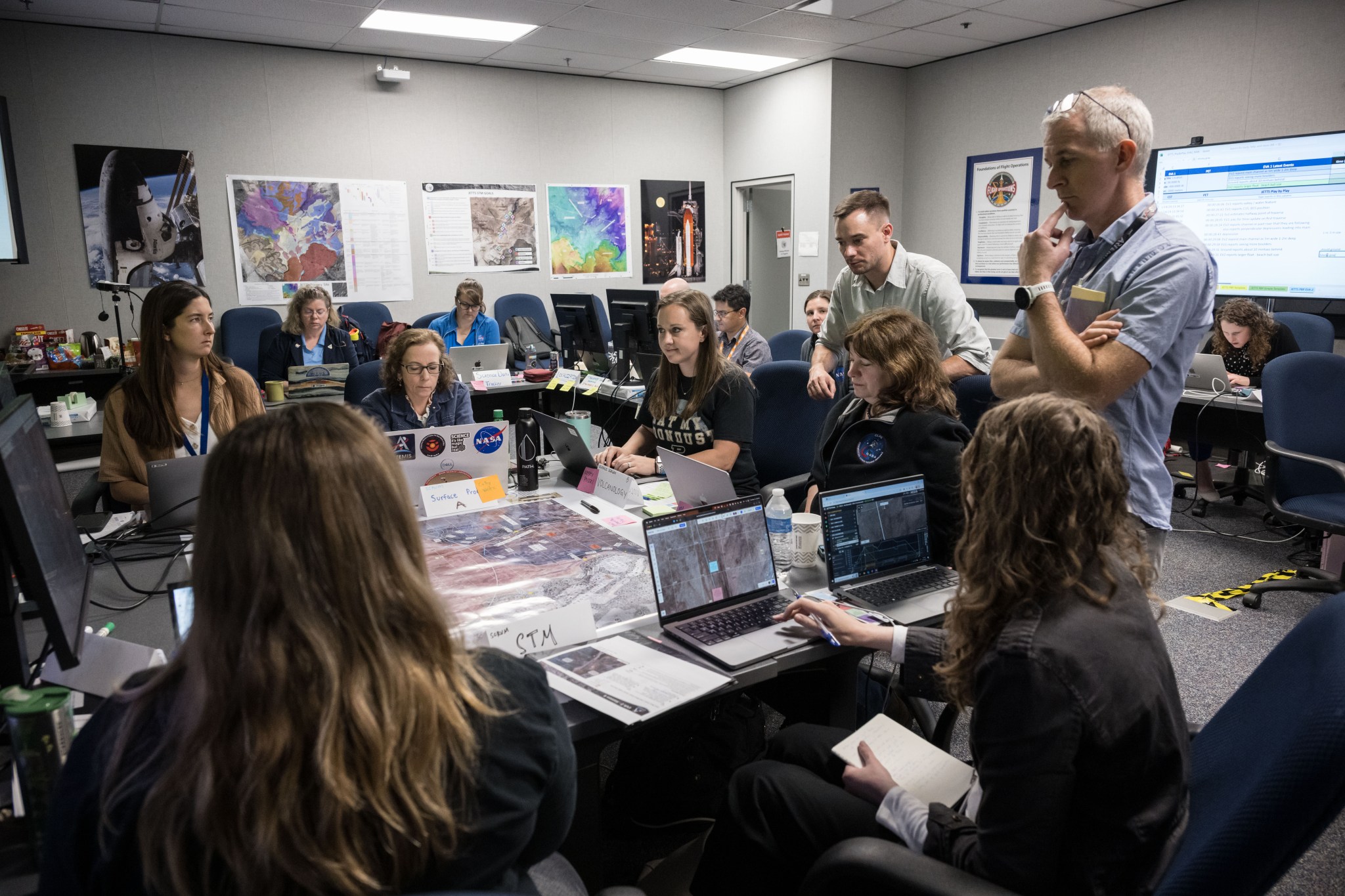
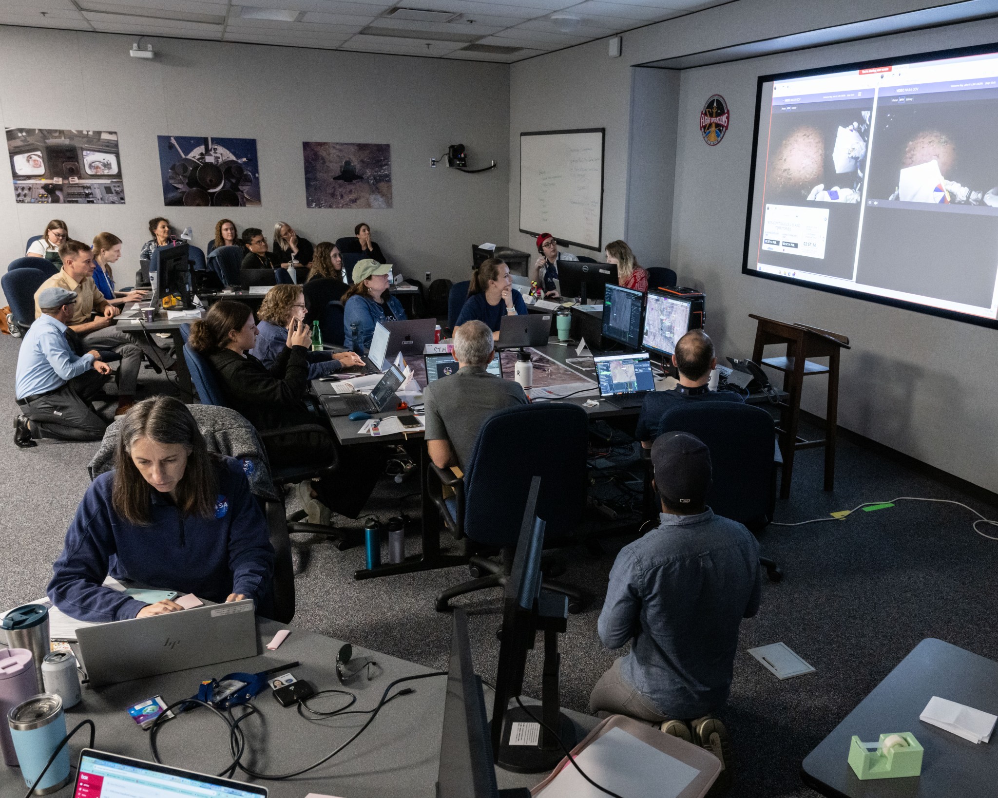
Earth and planetary scientists at NASA Johnson followed the moonwalks via a live video and audio feed broadcast in the Science Evaluation Room, pictured above. These experts developed detailed plans for each simulated moonwalk and provided geology expertise to mission control.
Everyone in the room had a role. One person communicated information between the science team and the flight control team. Others monitored the crew’s science tasks to ensure the astronauts stayed on track.
A small group analyzed images of rocks, soil, and outcrops sent back by the crew on the ground in Arizona. The information they gleaned helped determine whether the crew’s science tasks for each traverse needed to change.
The decision to update tasks or not was made by a small group of experts from NASA and other institutions. Known as the “scrum,” this group of scientists, who are sitting around the table in the picture above, represented disciplines such as volcanology and mineralogy.
They evaluated the information coming in from the crew and analyses from the science team to quickly decide whether to change the day’s science tasks because of an unplanned discovery. Serving at the scrum table was a high-pressure job, as updating the plan to spend more time at one intriguing site, for instance, could mean giving up time at another.
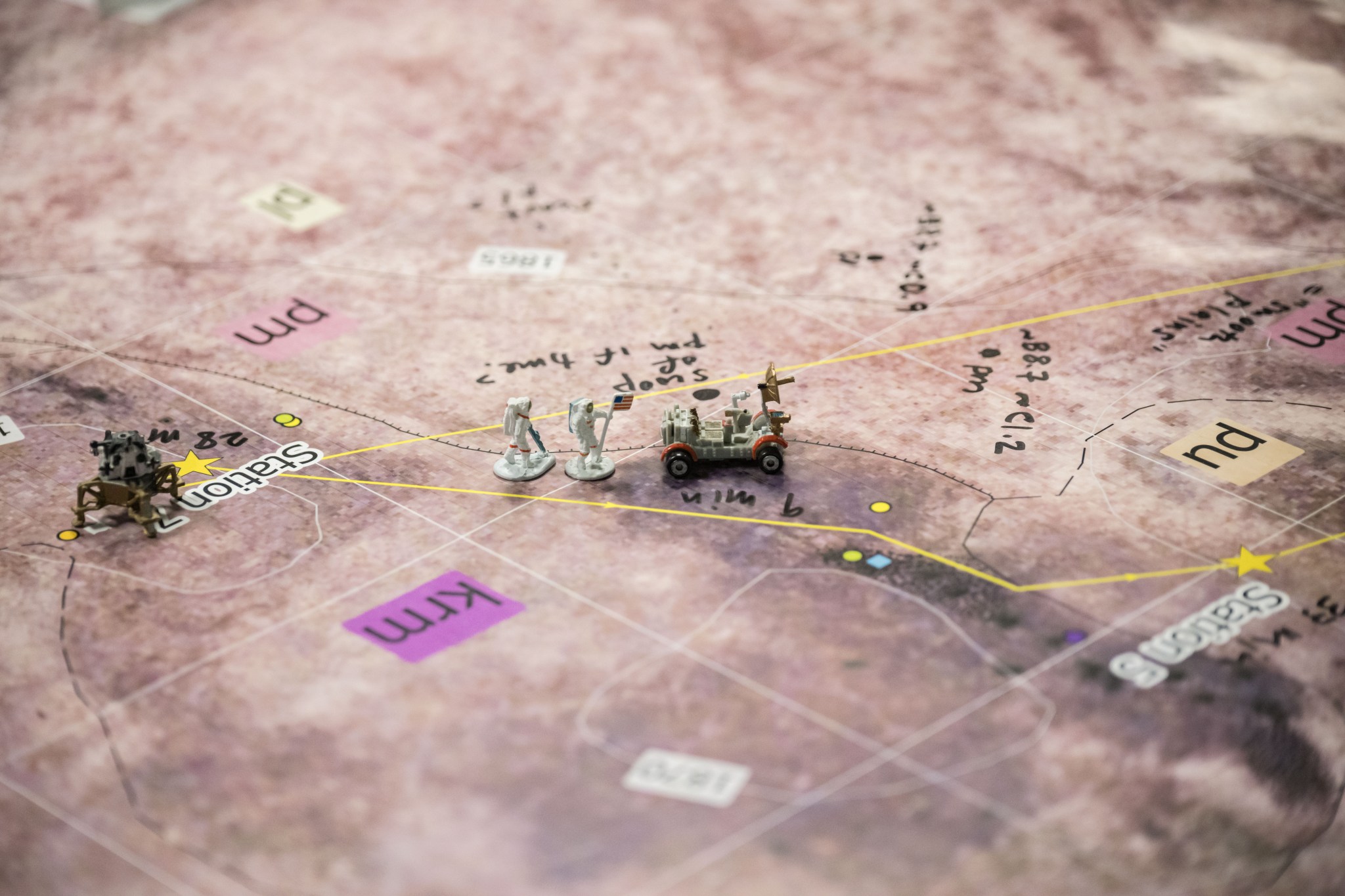
The Arizona moonwalks also gave scientists an opportunity to test their skills at making geologic maps using data from spacecraft orbiting many miles above the surface. Such maps will identify scientifically valuable rocks and landforms at the South Pole to help NASA pick South Pole landing sites that have the most scientific value.
Scientists will use data from NASA’s Lunar Reconnaissance Orbiter to map the geology around the Artemis III landing site on the Moon. But to map the Arizona volcanic field, they relied on Earth satellite data. Then, to test whether their Arizona maps were accurate, a couple of scientists compared the crew’s locations along their traverses — self-reported based on the land features around them — to the geologic features identified on the maps.
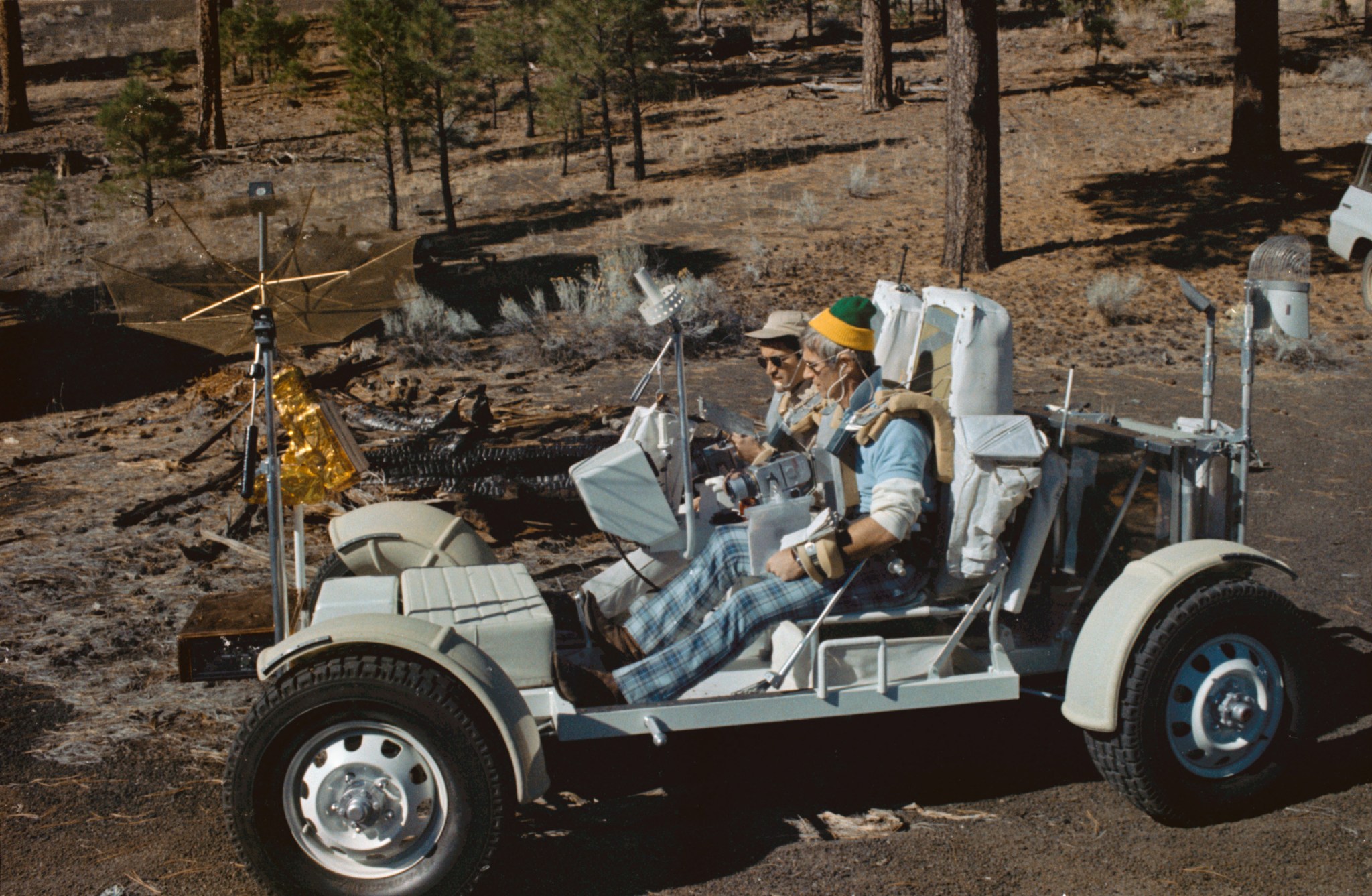
In the months leading up to the Arizona moonwalks, scientists taught Rubin and Douglas about geology, a discipline that’s key to deciphering the history of planets and moons. Geology training has been commonplace since the Apollo era of the 1960s and early ’70s. In fact, Apollo astronauts also trained in Arizona. These pioneer explorers spent hundreds of hours in the classroom and in the field learning geology. Artemis astronauts will have similarly intensive training.
Operating in Moon-Like Conditions
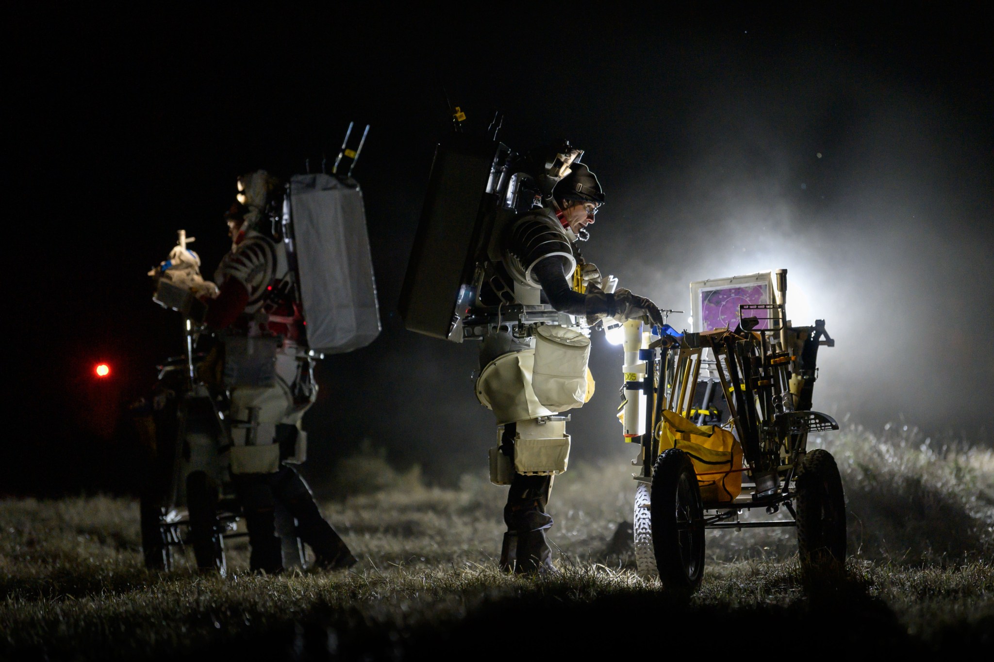
In the image above, Douglas stands to Rubins’ left reviewing procedures, while Rubins surveys instruments on the cart. Both are wearing 70-pound mockup planetary spacesuits that make moving, kneeling and grasping difficult, similar to how it will feel to do these activities on the Moon.
A NASA team member, not visible behind the cart in the foreground, is shining a spotlight toward the astronauts during a one-and-a-half-hour nighttime moonwalk simulation on May 16. The spotlight was used to imitate the lighting conditions of the Moon’s south polar region, where the Sun doesn’t rise and set as it does on Earth. Instead, it just moves across the horizon, skimming the surface like a flashlight lying on a table.
The position of the Sun at the Moon has to do with the Moon’s 1.5-degree tilt on its axis. This slight tilt means neither of the Moon’s northern or southern hemispheres tips noticeably toward or away from the Sun throughout the year. In contrast, Earth’s 23.5-degree tilt allows the northern and southern hemispheres to lean closer (summer) or farther (winter) from the Sun depending on the time of year. Thus, the Sun appears higher in the sky during summer days than it does during winter days.
Compared to the daytime moonwalks, when the astronauts could easily see and describe the conditions around them, the crew was relatively quiet during the night expedition. With their small helmet lights, Rubins and Douglas could see just the area around their feet. But the duo tested supplemental portable lights and reported a big improvement in visibility of up to 20 feet around themselves.
Night simulations show us how tough it is for the astronauts to navigate in the dark. It’s pretty eye opening.

Cherie achilles
Mineralogist from NASA’s Goddard Space Flight Center in Greenbelt, Maryland, who co-led the simulation science team.
The Science Evaluation Room during the nighttime moonwalk simulation on May 16. Scientists sit at their workstations while a screen at the front of the room presents live video and audio of the astronauts in the field.
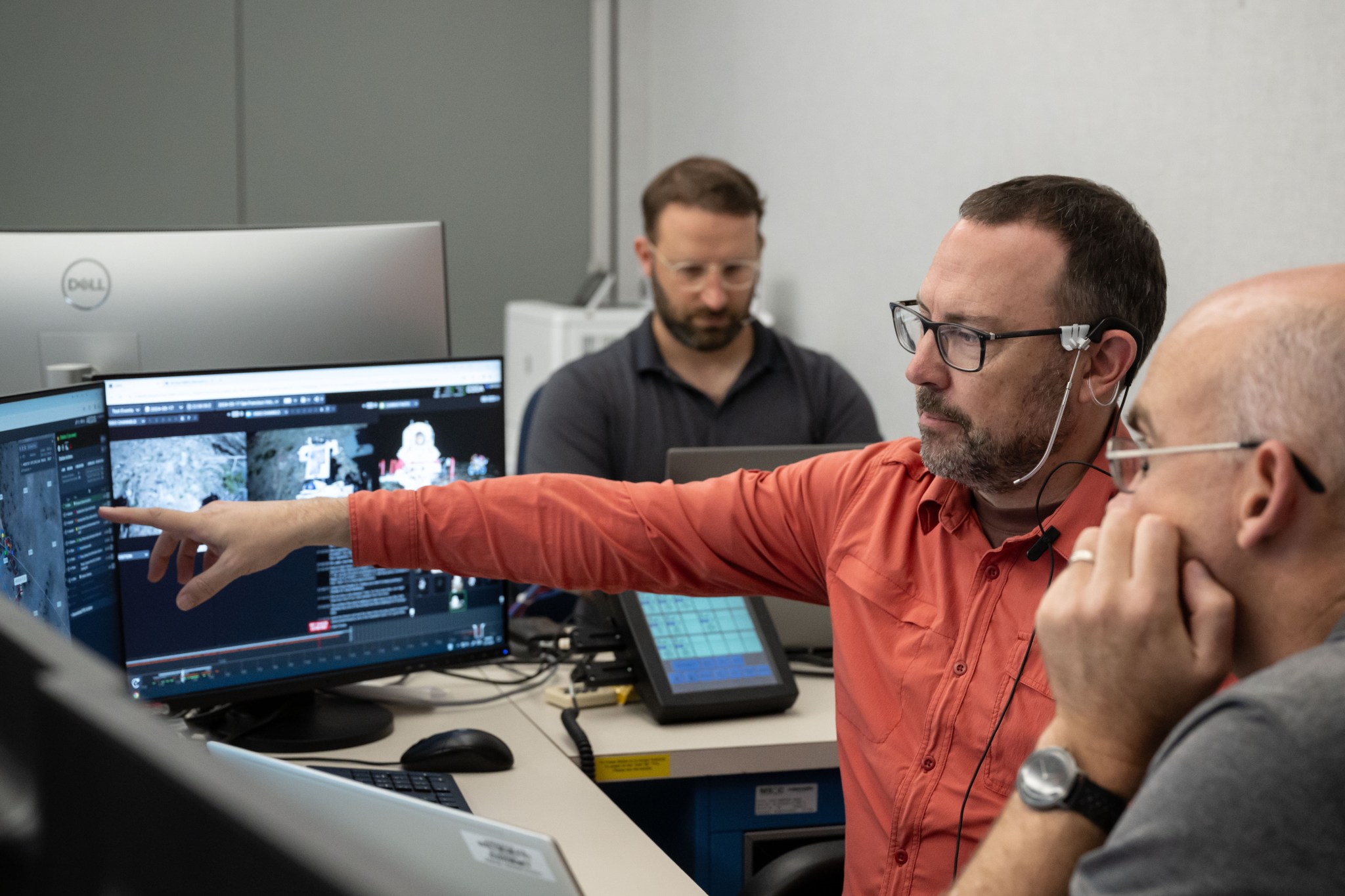
Engineers pictured above, in Houston’s mock mission control area, tested custom-designed software for managing moonwalks. One program automatically catalogs hours of audio and video footage, plus hundreds of pictures, collected during moonwalks. Another helps the team plan moonwalks, keep track of time and tasks, and manage limited life-support supplies such as oxygen. Such tracking and archiving will provide contextual data for generations of scientists and engineers.
It’s important that we make software tools that allow flight controllers and scientists to have flexibility and creativity during moonwalks, while helping keep the crew safe.

Ben Feist
Software engineer in NASA Johnson’s Astromaterials Research and Exploration Science division, pointing in the image above.
Learning a Common Language
The audio stream used by the Houston team to communicate during spacewalks is a dizzying cacophony of voices representing all the engineering and science roles of mission control. A well-trained mission control specialist can block out the noise and focus only on information they need to act on.
One of the goals of the simulations, then, was to train scientists how to do this. “On the science side, we’re the newbies here,” Achilles said.
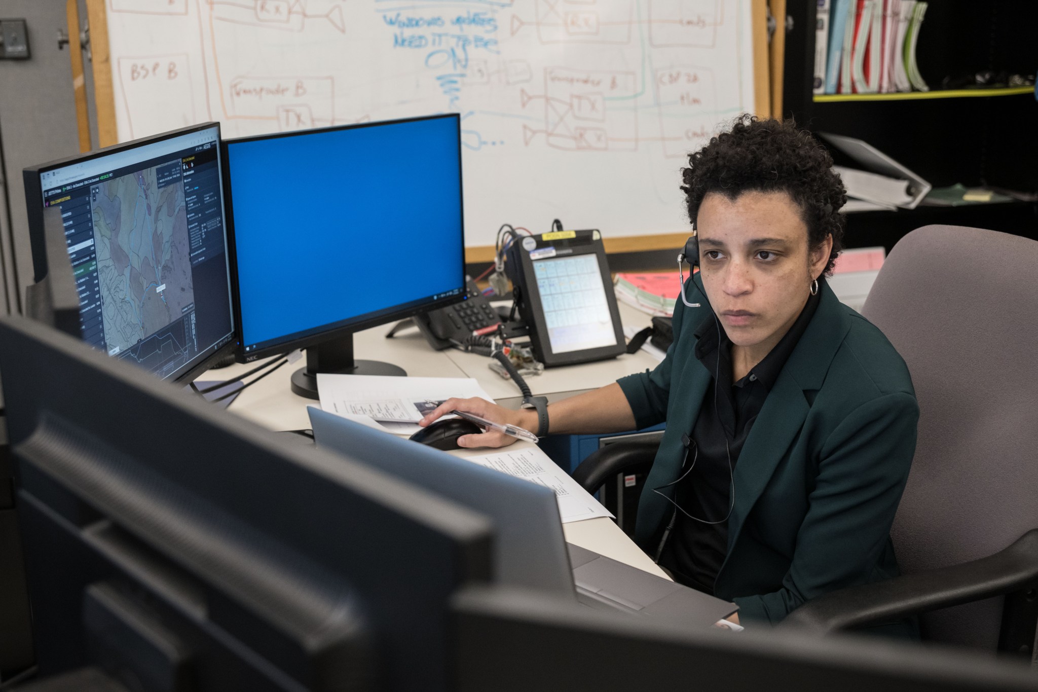
During the Arizona moonwalks, scientists learned how to communicate their priorities succinctly and clearly to the flight control team, which then talked with the astronauts. If scientists needed to change the traverse plan to return to a site for more pictures, for instance, they had to rationalize the request to the flight director in charge. If the director approved, a designated person communicated the information to the crew. For this simulation, that person was NASA astronaut Jessica Watkins, pictured above, who’s a geologist by training.
NASA’s strict communication rules are meant to limit the distractions and hazards to astronauts during physically and intellectually demanding spacewalks.
Coming Up Next
In the weeks after the May moonwalk simulations, flight controllers and scientists have been debriefing and documenting their experiences. Next, they will revisit details like the design of the Science Evaluation Room. They’ll reconsider the roles and responsibilities of each team member and explore new tools or software upgrades to make their jobs more efficient. And at future simulations, still in the planning stages, they’ll do it all again, and again, and again, all to ensure that the real Artemis moonwalks — humanity’s first steps on the lunar surface in more than 50 years — will be perfectly choreographed.
View More Images from the Recent Moonwalk Simulations
By Lonnie Shekhtman
NASA’s Goddard Space Flight Center, Greenbelt, Md.
Share
Details
Related Terms
What's Your Reaction?












.jpg?#)

